Blatnica
Блатница | |
|---|---|
Village | |
 Blatnica | |
| Coordinates: 44°25′31″N 17°49′54″E / 44.4253552°N 17.831712°E | |
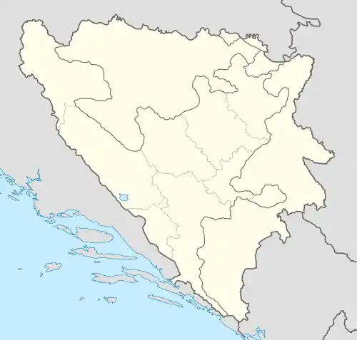
| Country | |
| Entity | Federation of Bosnia and Herzegovina |
| Region Canton | Sarajevo |
| Municipality | |
| Area | |
| • Total | 22.42 sq mi (58.08 km2) |
| Population (2013) | |
| • Total | 1,254 |
| • Density | 56/sq mi (22/km2) |
| Time zone | UTC+1 (CET) |
| • Summer (DST) | UTC+2 (CEST) |
| Area code | +387 |
Blatnica (Serbian Cyrillic: Блатница) is a settlement in the Bosnia and Herzegovina, Federacija Bosne i Hercegovine entity, Zenica Municipality.[1][2][3]
Before the War in Bosnia and Herzegovina, the village was entirely part of the Teslić Municipality; After the war ended, its territory was partially attached to the municipality of Zenica, integrated into the Federation of Bosnia and Herzegovina.
Population
Census of 1991
| Ethnic Group | Number | % |
| Serbs | 2,768 | 95,77 |
| Yugoslavs | 60 | 2,07 |
| Croats | 40 | 1,38 |
| Bosniaks | 7 | 0,24 |
| Others | 15 | 0,51 |
Population 1997 - 1991
| Blatnica[4][5] Total population 2013: 5 | ||||||
| Census Year | 1991. | 1981. | 1971. | |||
| Serbs | 2 768 (95,78%) | 2 777 (94,26%) | 2 650 (97,53%) | |||
| Croats | 40 (1,384%) | 29 (0,984%) | 39 (1,435%) | |||
| Bosniaks | 7 (0,242%) | 10 (0,339%) | 7 (0,258%) | |||
| Crnogorci | – | 6 (0,204%) | 5 (0,184%) | |||
| Albanians | – | 3 (0,102%) | – | |||
| Yugoslavs | 60 (2,076%) | 109 (3,700%) | 7 (0,258%) | |||
| Other and Unknown | 15 (0,519%) | 12 (0,407%) | 9 (0,331%) | |||
| Total | 2 890 | 2 946 | 2 717 | |||
See also
References
- ↑ "Karta Bosne i Hercegovine". Karta BiH. Retrieved 2019-04-17.
- ↑ Vojnogeografski institut, Izd. (1955): Travnik (List karte 1:100.000, Izohipse na 20 m). Vojnogeografski institut, Beograd.
- ↑ Mučibabić B., ed. (1998). Geografski atlas Bosne i Hercegovine. Sarajevo: Geodetski zavod BiH. ISBN 9958-766-00-0.
- ↑ Book: "Nacionalni sastav stanovništva – Rezultati za Republiku po opštinama i naseljenim mjestima 1991.", statistički bilten br. 234, Izdanje Državnog zavoda za statistiku Republike Bosne i Hercegovine, Sarajevo.
- ↑ Internet – Source: "Popis po mjesnim zajednicama" – "Archived copy" (PDF). Archived from the original (PDF) on 2013-10-05. Retrieved 2013-03-26.
{{cite web}}: CS1 maint: archived copy as title (link)
External links
This article is issued from Wikipedia. The text is licensed under Creative Commons - Attribution - Sharealike. Additional terms may apply for the media files.