| Boina River | |
|---|---|
 | |
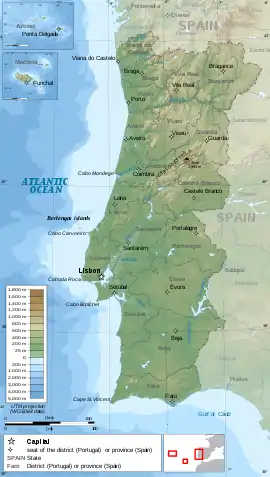
 Location of the confluence (Boina estuary) in Portugal | |
| Location | |
| Country | Portugal |
| Region | Algarve |
| District | Faro |
| Municipality | Silves |
| Physical characteristics | |
| Source | |
| • location | Serra de Monchique, Algarve |
| • coordinates | 37°09′13.4″N 8°15′55.5″W / 37.153722°N 8.265417°W |
| Source confluence | |
| • location | Boina estuary |
| • coordinates | 37°10′14.4″N 8°31′49.4″W / 37.170667°N 8.530389°W |
| Mouth | Boina estuary, south west coast of the Algarve into the Atlantic at Portimão via the Arade River |
The Boina River (Portuguese pronunciation: [ˈbɔjnɐ]) is a small river in the south west Algarve, Portugal. It is a tributary[1] of the Arade River which it has a conflux at the Boina Estuary 6.8 kilometres (4.2 mi) north of the mouth of the Arade at the town of Portimão.[2][3][4]
Description
The Boina River runs for a distance of 30.0 kilometres (18.6 mi) from its headwater sources which are a number of small streams and brooks rising from springs across the Serra de Monchique. The rivers confluence is with the Arade River forming the western arm of the Arade estuary and is known as the Boina estuary. The head of the estuary is near the village of Arge.
References
- ↑ Garcia Domingues, José Domingos. Silves: Tourist Guide to the Town and Borough. Câmara Municipal de Silves. p. 9.
{{cite book}}:|work=ignored (help) - ↑ The Algarve. Rough guides – Penguin Group. 2010. ISBN 9781848364981.
{{cite book}}:|work=ignored (help) - ↑ 49-D Silves. Instituto Geografico Portugues. ISBN 9789728867119.
{{cite book}}:|work=ignored (help) - ↑ "49-D Silves". Listing of the Map on Stanford’s website. Stanfords Bookshop. Archived from the original on 6 October 2014. Retrieved 18 September 2014.
This article is issued from Wikipedia. The text is licensed under Creative Commons - Attribution - Sharealike. Additional terms may apply for the media files.
