Boskop | |
|---|---|
 Boskop  Boskop | |
| Coordinates: 26°33′50″S 27°08′24″E / 26.564°S 27.140°E | |
| Country | South Africa |
| Province | North West |
| District | Dr Kenneth Kaunda |
| Municipality | JB Marks |
| Area | |
| • Total | 18.09 km2 (6.98 sq mi) |
| Population (2011)[1] | |
| • Total | 184 |
| • Density | 10/km2 (26/sq mi) |
| Racial makeup (2011) | |
| • Black African | 85.3% |
| • Coloured | 6.0% |
| • White | 8.2% |
| • Other | 0.5% |
| First languages (2011) | |
| • Tswana | 37.5% |
| • Afrikaans | 19.6% |
| • Xhosa | 14.1% |
| • Zulu | 10.9% |
| • Other | 17.9% |
| Time zone | UTC+2 (SAST) |
| PO box | 2528 |
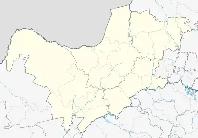
Boskop is a small village 16 km north of Potchefstroom. In 1913, the Boskop Man was found here, the first local anatomically modern human skull to be discovered. Consisting only of a post office and railway station on the route Potchefstroom-Welverdiend, the name is Afrikaans and means 'bush hill'.[2]
See also
References
- 1 2 3 4 "Main Place Boskop". Census 2011.
- ↑ Raper, Peter E. (1987). Dictionary of Southern African Place Names. Internet Archive. p. 89. Retrieved 28 August 2013.
This article is issued from Wikipedia. The text is licensed under Creative Commons - Attribution - Sharealike. Additional terms may apply for the media files.
.svg.png.webp)