Bourg | |
|---|---|
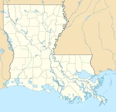 Bourg Location of Bourg in Louisiana | |
| Coordinates: 29°33′13″N 90°36′08″W / 29.55361°N 90.60222°W | |
| Country | United States |
| State | Louisiana |
| Parish | Terrebonne |
| Area | |
| • Total | 5.74 sq mi (14.87 km2) |
| • Land | 5.65 sq mi (14.62 km2) |
| • Water | 0.09 sq mi (0.24 km2) |
| Elevation | 7 ft (2 m) |
| Population (2020) | |
| • Total | 2,375 |
| • Density | 420.65/sq mi (162.43/km2) |
| Time zone | UTC-6 (CST) |
| • Summer (DST) | UTC-5 (CDT) |
| ZIP code | 70343[2] |
| Area code | 985 |
| FIPS code | 22-09095 |
Bourg is a census-designated places in Terrebonne Parish, Louisiana, United States. It is part of the Houma–Bayou Cane–Thibodaux Metropolitan Statistical Area.
Demographics
| Census | Pop. | Note | %± |
|---|---|---|---|
| 2020 | 2,375 | — | |
| U.S. Decennial Census[3] | |||
Education
Terrebonne Parish School District operates public schools. Schools with Bourg addresses include Bourg Elementary School (PK-4) and South Terrebonne High School (9-12).[4][5]
WMA
Access to the Pointe-aux-Chenes Wildlife Management Area (WMA) can be made through Bourg, LA 24, and down LA 55 or LA 665.[6]
References
- ↑ "2020 U.S. Gazetteer Files". United States Census Bureau. Retrieved March 20, 2022.
- ↑ "Bourg LA ZIP Code". zipdatamaps.com. 2023. Retrieved June 16, 2023.
- ↑ "Census of Population and Housing". Census.gov. Retrieved June 4, 2016.
- ↑ Home page. Bourg Elementary School. Retrieved on July 27, 2010.
- ↑ "Welcome to STHS." South Terrebonne High School. Retrieved on July 27, 2010.
- ↑ Google maps: Pointe-aux-Chenes WMA- Retrieved 2018-09-11
Municipalities and communities of Terrebonne Parish, Louisiana, United States | ||
|---|---|---|
| City | 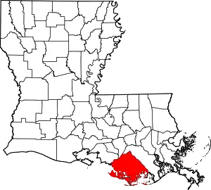 | |
| CDPs | ||
| Other unincorporated communities | ||
| Footnotes | ‡This populated place also has portions in an adjacent parish or parishes | |
This article is issued from Wikipedia. The text is licensed under Creative Commons - Attribution - Sharealike. Additional terms may apply for the media files.