Breiðdalshreppur | |
|---|---|
Former municipality | |
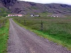 Skyline of Breiðdalshreppur | |
 Coat of arms | |
 Breiðdalshreppur | |
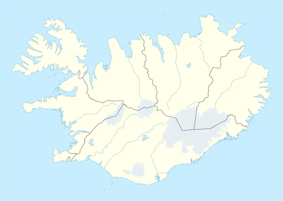
| Coordinates: 64°47′36″N 14°00′24″W / 64.79333°N 14.00667°W | |
| Country | Iceland |
| Region | Eastern Region |
| Constituency | Northeast Constituency |
| Municipality | Fjarðabyggð |
| Government | |
| • Manager | Sif Hauksdóttir |
| Area | |
| • Total | 452 km2 (175 sq mi) |
| Population | |
| • Total | 187 |
| • Density | 0.41/km2 (1.1/sq mi) |
| Postal code(s) | 760 |
| Website | breiddalur |
Breiðdalshreppur (Icelandic pronunciation: [ˈpreiðˌtalsˌr̥ehpʏr̥] ⓘ) is a former municipality in Iceland. In 2018, it merged with a larger municipality, the neighboring Fjarðabyggð.[1][2]
Its service centre was Breiðdalsvík. Tourism, fishing, sheep and cow farming were the most prominent industries in the municipality.
References
- ↑ "Breiðdalshreppur sameinist Fjarðabyggð". RÚV. 2017-10-16. Retrieved 2018-11-19.
- ↑ "Fjarðabyggð og Breiðdalshreppur sameinast". Retrieved 2018-11-19.
This article is issued from Wikipedia. The text is licensed under Creative Commons - Attribution - Sharealike. Additional terms may apply for the media files.