Breitenau | |
|---|---|
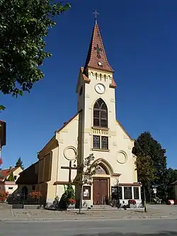 Catholic church in Breitenau | |
 Coat of arms | |
 Breitenau Location within Austria | |
| Coordinates: 47°44′N 16°9′E / 47.733°N 16.150°E | |
| Country | Austria |
| State | Lower Austria |
| District | Neunkirchen |
| Government | |
| • Mayor | Helmut Maier website = www.gemeinde-breitenau.at |
| Area | |
| • Total | 9.63 km2 (3.72 sq mi) |
| Elevation | 343 m (1,125 ft) |
| Population (2018-01-01)[2] | |
| • Total | 1,576 |
| • Density | 160/km2 (420/sq mi) |
| Time zone | UTC+1 (CET) |
| • Summer (DST) | UTC+2 (CEST) |
| Postal code | 2624 |
| Area code | 02635 |
Breitenau is a town in the district of Neunkirchen in the Austrian state of Lower Austria.
Population
| Year | Pop. | ±% |
|---|---|---|
| 1869 | 448 | — |
| 1880 | 501 | +11.8% |
| 1890 | 639 | +27.5% |
| 1900 | 746 | +16.7% |
| 1910 | 895 | +20.0% |
| 1923 | 893 | −0.2% |
| 1934 | 1,043 | +16.8% |
| 1939 | 999 | −4.2% |
| 1951 | 966 | −3.3% |
| 1961 | 966 | +0.0% |
| 1971 | 1,047 | +8.4% |
| 1981 | 1,050 | +0.3% |
| 1991 | 1,061 | +1.0% |
| 2001 | 1,246 | +17.4% |
| 2011 | 1,394 | +11.9% |
References
- ↑ "Dauersiedlungsraum der Gemeinden Politischen Bezirke und Bundesländer - Gebietsstand 1.1.2018". Statistics Austria. Retrieved 10 March 2019.
- ↑ "Einwohnerzahl 1.1.2018 nach Gemeinden mit Status, Gebietsstand 1.1.2018". Statistics Austria. Retrieved 9 March 2019.
This article is issued from Wikipedia. The text is licensed under Creative Commons - Attribution - Sharealike. Additional terms may apply for the media files.