
View of Brightwell Barrow from the Wittenham Clumps side
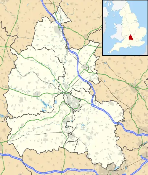
Location of Brightwell Barrow in Oxfordshire
Brightwell Barrow is a Bronze Age round barrow in the civil parish of Brightwell-cum-Sotwell in the English county of Oxfordshire[1] (formerly Berkshire).
It lies just under a kilometre from Wittenham Clumps. Its position is marked by a small clump of trees on its peak. Brightwell Barrow is mentioned in the Domesday Book under the entry for Brightwell-cum-Sotwell.
References
- ↑ Oxford, Chipping Norton and Bicester (Landranger Maps) (D1 ed.), Ordnance Survey, 2006, ISBN 978-0-319-22913-2
51°37′23″N 1°10′08″W / 51.623°N 1.169°W
This article is issued from Wikipedia. The text is licensed under Creative Commons - Attribution - Sharealike. Additional terms may apply for the media files.