| Broom | |
|---|---|
_Junction_with_Broom_Road_(A6021)_-_geograph.org.uk_-_956823.jpg.webp) Road junction in Broom | |
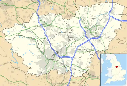 Broom Location within South Yorkshire | |
| Population | 900 |
| OS grid reference | SK444915 |
| Metropolitan borough | |
| Metropolitan county | |
| Region | |
| Country | England |
| Sovereign state | United Kingdom |
| Post town | ROTHERHAM |
| Postcode district | S60 |
| Dialling code | 01709 |
| Police | South Yorkshire |
| Fire | South Yorkshire |
| Ambulance | Yorkshire |
| UK Parliament | |
Broom (historically sometimes spelled "Broome") is a village in South Yorkshire, England and is located in the former parish of Whiston about 1 mile (2 km) southeast of Rotherham.[1][2] Broom sits on top of a former Roman fortification and was the site of a Saxon trading town. The village currently has a population of 900. The town supports three pubs, a football club, Broom United, and numerous other small businesses.
References
- ↑ Ordnance Survey: Landranger map sheet 111 Sheffield & Doncaster (Rotherham, Barnsley & Thorne) (Map). Ordnance Survey. 2014. ISBN 9780319229354.
- ↑ "Ordnance Survey: 1:50,000 Scale Gazetteer" (csv (download)). www.ordnancesurvey.co.uk. Ordnance Survey. 1 January 2016. Retrieved 30 January 2016.
This article is issued from Wikipedia. The text is licensed under Creative Commons - Attribution - Sharealike. Additional terms may apply for the media files.