Bubaque Airport | |||||||||||
|---|---|---|---|---|---|---|---|---|---|---|---|
| Summary | |||||||||||
| Airport type | Public | ||||||||||
| Serves | Bubaque, Guinea-Bissau | ||||||||||
| Elevation AMSL | 80 ft / 24 m | ||||||||||
| Coordinates | 11°18′00″N 15°50′20″W / 11.30000°N 15.83889°W | ||||||||||
| Map | |||||||||||
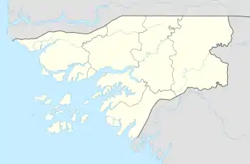
 BQE Location of airport in Guinea-Bissau | |||||||||||
| Runways | |||||||||||
| |||||||||||
Bubaque Airport (IATA: BQE, ICAO: GGBU) is an airport serving the island town of Bubaque, in Guinea-Bissau. It is the Bijagos Archipelago's only airfield.
The airport is on the north end of the island. North approach and departure will be over the water. The 1.2-kilometre (3,900 ft) runway is unpaved.
The Bissau VOR-DME (Ident: BIS) is located on the Osvaldo Vieira International Airport at Bissau, 75 kilometres (40 nmi) north-northeast of Bubaque.[3]
See also
References
- ↑ Google Maps
- ↑ Airport information for Bubaque Airport at Great Circle Mapper.
- ↑ "Bissou VOR". SkyVector. Retrieved 23 November 2018.
External links
- OpenStreetMap - Bubaque
- OurAirports - Bubaque Airport
- Accident history for BQE at Aviation Safety Network
This article is issued from Wikipedia. The text is licensed under Creative Commons - Attribution - Sharealike. Additional terms may apply for the media files.