Buchambi
Kata ya Buchambi | |
|---|---|
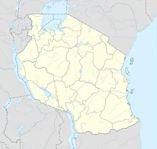 Buchambi Location of Buchambi | |
| Coordinates: 3°04′49″S 33°43′29″E / 3.08024°S 33.724853°E | |
| Country | |
| Region | Simiyu Region |
| District | Maswa District |
| Ward | Buchambi |
| Established | 1984 |
| Government | |
| • Type | Council |
| Area | |
| • Total | 132.9 km2 (51.3 sq mi) |
| Elevation | 1,312 m (4,304 ft) |
| Population (2016) | |
| • Total | 14,553 |
| • Density | 110/km2 (280/sq mi) |
| Time zone | UTC+3 (EAT) |
| Postcode | 39301 |
| Area code | 028 |
| Website | Regional Website |
Buchambi is a Ward from Maswa District in Simiyu Region, Tanzania. The ward covers an area of 132.9 km2 (51.3 sq mi) with an average elevation of 1,312 m (4,304 ft).[1][2]
In 2016 the Tanzania National Bureau of Statistics report there were 14,553 people in the ward, from 13,520 in 2012. The ward has 110 inhabitants per square kilometre (280/sq mi).[3][4]
References
- ↑ "United Republic of Tanzania". City Population. Retrieved 5 July 2022.
- ↑ Arnett, Daniel. "Home > Countries > Tanzania". Elevation Map. Retrieved 5 July 2022.
- ↑ 2012 Population and Housing Census - Population Distribution by Administrative Areas (PDF) (Report). Dar es Salaam, Tanzania: National Bureau of Statistics. 1 March 2013. Archived (PDF) from the original on 26 March 2022. Retrieved 3 July 2022.
- ↑ 2016 Makadirio ya Idadi ya Watu katika Majimbo ya Uchaguzi kwa Mwaka 2016, Tanzania Bara [Population Estimates in Administrative Areas for the Year 2016, Mainland Tanzania] (PDF) (Report) (in Swahili). Dar es Salaam, Tanzania: National Bureau of Statistics. 1 April 2016. Archived (PDF) from the original on 27 December 2021. Retrieved 3 July 2022.
This article is issued from Wikipedia. The text is licensed under Creative Commons - Attribution - Sharealike. Additional terms may apply for the media files.