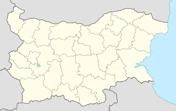
Buchino
Бучино | |
|---|---|
Village | |
 Buchino | |
| Coordinates: 42°3′N 23°0′E / 42.050°N 23.000°E | |
| Country | |
| Province | Blagoevgrad Province |
| Municipality | Blagoevgrad |
| Government | |
| • Suffragan Mayor | Zhivko Chukarski |
| Area | |
| • Total | 15,929 km2 (6,150 sq mi) |
| Elevation | 577 m (1,893 ft) |
| Population (31-12-2020 [1]) | |
| • Total | 61 |
| Time zone | UTC+2 (EET) |
| • Summer (DST) | UTC+3 (EEST) |
| Postal Code | 2724 |
| Area code | 073 |
| Climate | Cfb |
Buchino is a sparsely inhabited village in Blagoevgrad Municipality, in Blagoevgrad Province, Bulgaria. It is situated on the foothills of Vlahina mountain 13 kilometers northwest of Blagoevgrad.
History
In 1891 Georgi Strezov wrote about the village:
"Buchino, 3 hours from Jumaya, towards the border, is surrounded by small forest, which is well preserved, because it was said anyone who dared to cut down a branch of this forest died. 75 houses, 360 Bulgarians and 75 Turks."[2]
At the outbreak of the Balkan War in 1912, two people from Buchino were volunteers in the Macedonian-Edirne militia.[3]
Population
By 1900, according to the famous statistics of Vasil Kanchov ("Macedonia. Ethnography and Statistics"), the population of Buchino (Bair Koi) numbered 517 people, of whom 442 were Bulgarian Christians and 75 Turks.[4]
Population by census over the years:[5]
| Year | 1934 | 1946 | 1956 | 1965 | 1975 | 1985 | 1992 | 2001 | 2011 |
|---|---|---|---|---|---|---|---|---|---|
| Population | 708 | 764 | 721 | 567 | 272 | 200 | 177 | 134 | 88 |
References
- ↑ "Нси • Национален Регистър На Населените Места •".
- ↑ Два санджака отъ Источна Македония. // Периодическо списание на Българското книжовно дружество въ Средѣцъ Година Осма (XXXVII-XXXVIII). Средѣцъ, Държавна печатница, 1891. с. 21.
- ↑ Македоно-одринското опълчение 1912-1913 г. : Личен състав по документи на Дирекция „Централен военен архив“. София, Главно управление на архивите, Дирекция „Централен военен архив“ В. Търново, Архивни справочници № 9, 2006. ISBN 954-9800-52-0. с. 103, 832.
- ↑ Кѫнчовъ, Василъ. Македония. Етнография и статистика. София, Българското книжовно дружество, 1900. ISBN 954430424X. с. 191
- ↑ https://www.nsi.bg/nrnm/show9.php?sid=572&ezik=bul Данни от преброяванията на населението през годините
42°03′N 23°00′E / 42.050°N 23.000°E
