BudruKuchi
Budru Kuchi | |
|---|---|
Village | |
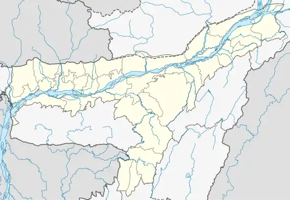 BudruKuchi Map of Assam  BudruKuchi BudruKuchi (India) | |
| Coordinates: 26°23′29″N 91°27′03″E / 26.3914°N 91.4507°E | |
| Country | |
| State | Assam |
| District | Nalbari |
| Gram Panchayat | Madhya Bahjani |
| Area | |
| • Total | 193.28 ha (477.61 acres) |
| Population (2011) | |
| • Total | 2,565 |
| • Density | 1,300/km2 (3,400/sq mi) |
| Languages | |
| • Official | Assamese |
| Time zone | UTC+5:30 (IST) |
| Postal code | 781334 |
| STD Code | 03624 |
| Vehicle registration | AS-14 |
| Census code | 303967 |
Budrukuchi, also spelled as Budru Kuchi, is a census village in Nalbari district, Assam, India.[1][2] As per the 2011 Census of India, Budrukuchi village has a total population of 2,565 people, including 1,317 males and 1,248 females with a literacy rate of 81.91%.[3]
References
- ↑ India; Director of Census Operations, Assam (1996). Census of India, 1991. Series 4, Series 4,. New Delhi: Controller of Publications. p. 170.
- ↑ Banerjee, Dipankar; Muggah, Robert; Regional Centre for Strategic Studies (Colombo, Sri Lanka), Small Arms Survey (2002). Small Arms, and Human Insecurity : Reviewing Participatory Research in South Asia. Colombo: Regional Centre for Strategic Studies. p. 14. ISBN 978-955-8051-28-3.
{{cite book}}: CS1 maint: multiple names: authors list (link) - ↑ "POPULATION BREAKUP AS PER CENSUS-2011" (PDF). Government of Assam | Nalbari District. Archived (PDF) from the original on 3 July 2022. Retrieved 3 July 2022.
This article is issued from Wikipedia. The text is licensed under Creative Commons - Attribution - Sharealike. Additional terms may apply for the media files.