Buh | |
|---|---|
Village | |
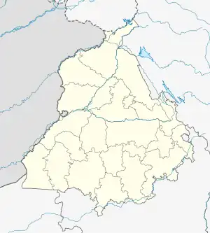 Buh Location in Punjab, India  Buh Buh (India) | |
| Coordinates: 31°10′46″N 74°54′12″E / 31.179574°N 74.903339°E | |
| Country | |
| State | Punjab |
| District | Kapurthala |
| Government | |
| • Type | Panchayati raj (India) |
| • Body | Gram panchayat |
| Population (2011) | |
| • Total | 1,526 |
| Sex ratio 784/742♂/♀ | |
| Languages | |
| • Official | Punjabi |
| • Other spoken | Hindi |
| Time zone | UTC+5:30 (IST) |
| PIN | 144601 |
| Telephone code | 01822 |
| ISO 3166 code | IN-PB |
| Vehicle registration | PB-09 |
| Website | kapurthala |
Buh is a village in Kapurthala district of Punjab State, India. It is located 17 kilometres (11 mi) from Kapurthala , which is both district and sub-district headquarters of Buh. The village is administrated by a Sarpanch, who is an elected representative.[1]
Demography
According to the report published by Census India in 2011, Buh has a total number of 281 houses and population of 1,526 of which include 784 males and 742 females. Literacy rate of Buh is 72.13%, lower than state average of 75.84%. The population of children under the age of 6 years is 191 which is 12.52% of total population of Buh, and child sex ratio is approximately 736, lower than state average of 846.
Population data
| Particulars | Total | Male | Female |
|---|---|---|---|
| Total No. of Houses | 281 | - | - |
| Population | 1,526 | 784 | 742 |
| Child (0-6) | 191 | 110 | 81 |
| Schedule Caste | 882 | 449 | 433 |
| Schedule Tribe | 0 | 0 | 0 |
| Literacy | 72.13 % | 77.15 % | 67.02 % |
| Total Workers | 514 | 462 | 52 |
| Main Worker | 505 | 0 | 0 |
| Marginal Worker | 9 | 5 | 4 |
Air travel connectivity
The closest airport to the village is Sri Guru Ram Dass Jee International Airport.
Villages in Kapurthala
External links
References
- ↑ "Buh, Kapurthala, Punjab Pin Code". codepin.in. Retrieved 24 July 2022.