Native name: 崩紗排 | |
|---|---|
 Bun Sha Pai | |
| Geography | |
| Coordinates | 22°27′33″N 114°17′15″E / 22.459290°N 114.287485°E |
| Administration | |
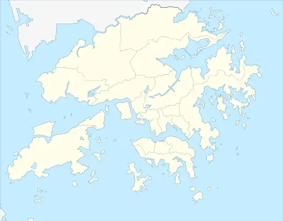
| District | Tai Po |
| Demographics | |
| Population | 0 |
Bun Sha Pai (Chinese: 崩紗排) is a small uninhabited island in Tai Po District, Hong Kong.[1] It is located south of Che Lei Pai, within Tolo Channel.
Name
The name 'Bun Sha Pai' is derived from it being in the shape of a butterfly, which was known as "Bun Sha" in Chinese historically. Other names of the islet include 'Tung King Pai' and 'Flat Reef'.
References
This article is issued from Wikipedia. The text is licensed under Creative Commons - Attribution - Sharealike. Additional terms may apply for the media files.