Burgohondo | |
|---|---|
 Burgohondo, (Ávila), Spain. | |
.svg.png.webp) Flag .svg.png.webp) Coat of arms | |
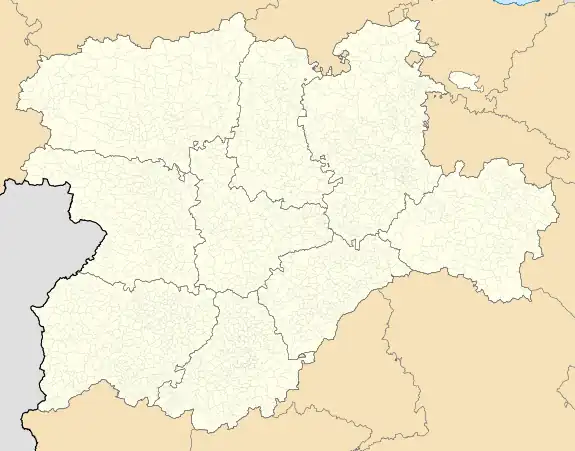
 Burgohondo Location in Spain.  Burgohondo Burgohondo (Spain) | |
| Coordinates: 40°24′49″N 4°47′11″W / 40.41361°N 4.78639°W | |
| Country | |
| Autonomous community | |
| Province | |
| Municipality | Burgohondo |
| Area | |
| • Total | 55.34 km2 (21.37 sq mi) |
| Elevation | 847 m (2,779 ft) |
| Population (2018)[1] | |
| • Total | 1,196 |
| • Density | 22/km2 (56/sq mi) |
| Time zone | UTC+1 (CET) |
| • Summer (DST) | UTC+2 (CEST) |
| Website | Official website |
Burgohondo is a municipality located in the province of Ávila, Castile and León, Spain. According to the 2004 census (INE), the municipality has a population of 1,184 inhabitants. It is located in the center of the Valle del Alberche, and area located in the Sierra de Gredos. Its territory has an extension of 55.34 km2,[2]
The origin of Burgohondo starts in 1179 around the Abadía del Burgo del Fondo.[3]
References
- ↑ Municipal Register of Spain 2018. National Statistics Institute.
- ↑ http://www.ine.es/jaxi/tabla.do?path=/t43/a011/a1998/densidad/a2008/l0/&file=t10039.px&type=pcaxis&L=0 Archived 2013-10-02 at the Wayback Machine,
- ↑ "***Excmo.Ayto.Burgohondo**". Archived from the original on 2014-02-21. Retrieved 2014-04-29.
This article is issued from Wikipedia. The text is licensed under Creative Commons - Attribution - Sharealike. Additional terms may apply for the media files.