| Burnrigg | |
|---|---|
.jpg.webp) A path leading to Low Wood Farm and Burnrigg | |
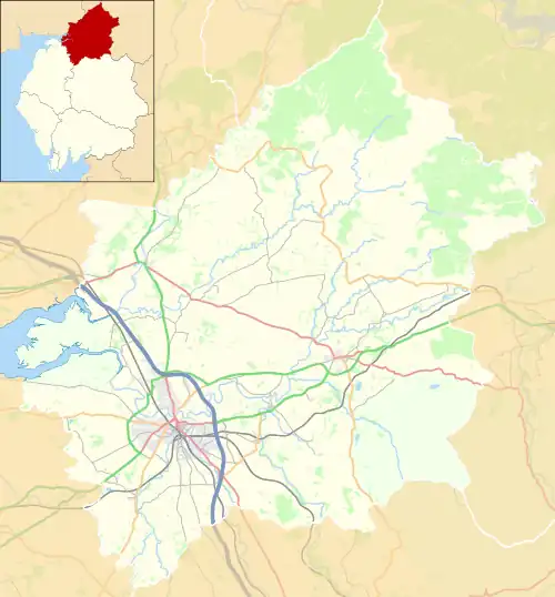 Burnrigg Location in the City of Carlisle district, Cumbria 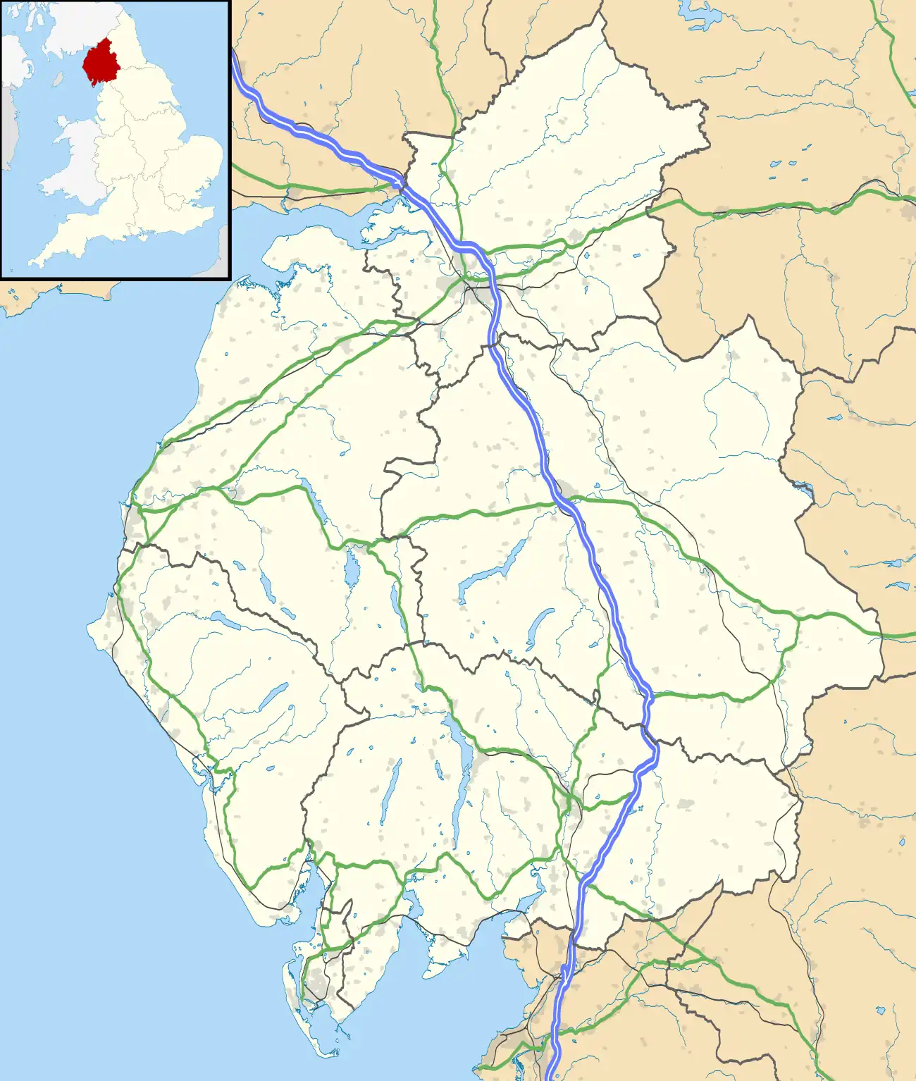 Burnrigg Location within Cumbria | |
| OS grid reference | NY478555 |
| Civil parish | |
| District | |
| Shire county | |
| Region | |
| Country | England |
| Sovereign state | United Kingdom |
| Post town | CARLISLE |
| Postcode district | CA8 |
| Dialling code | 01228 |
| Police | Cumbria |
| Fire | Cumbria |
| Ambulance | North West |
| UK Parliament | |
Burnrigg is a hamlet in Cumbria, England. It is located to the east of Carlisle.[1] In 1887, The British Architect said "on a site particularly high and open, are two small two- storied blocks of tenements, in all thirty-two, two small rooms to each, no other accommodation except four privies".[2]
See also
References
Wikimedia Commons has media related to Burnrigg.
- ↑ Maps (Map). Google Maps.
- ↑ The British architect: a journal of architecture and the accessory arts. 1887. p. 298.
This article is issued from Wikipedia. The text is licensed under Creative Commons - Attribution - Sharealike. Additional terms may apply for the media files.