Cârligele | |
|---|---|
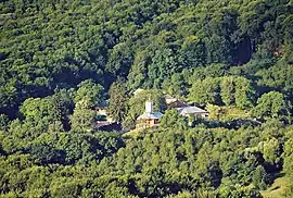 The Dălhăuți Monastery | |
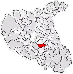 Location in Vrancea County | |
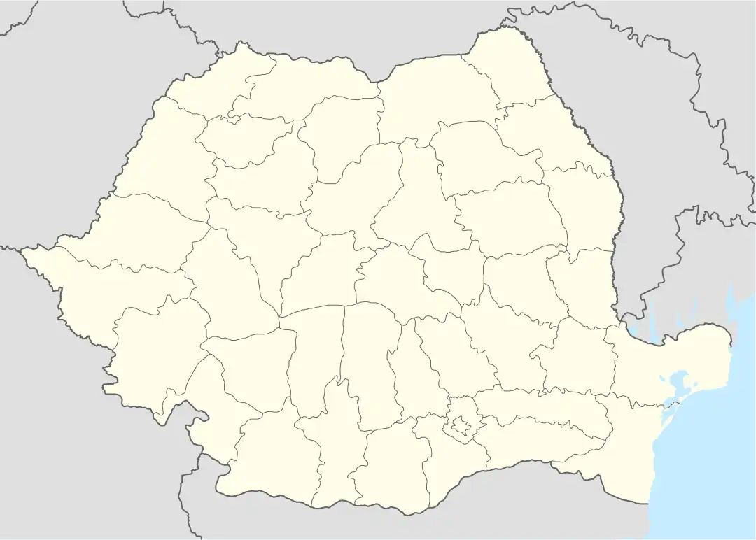 Cârligele Location in Romania | |
| Coordinates: 45°41′N 27°6′E / 45.683°N 27.100°E | |
| Country | Romania |
| County | Vrancea |
| Government | |
| • Mayor (2020–2024) | Ștefan Moscu (PSD) |
| Area | 40 km2 (20 sq mi) |
| Elevation | 154 m (505 ft) |
| Population (2021-12-01)[1] | 3,378 |
| • Density | 84/km2 (220/sq mi) |
| Time zone | EET/EEST (UTC+2/+3) |
| Postal code | 627065 |
| Area code | +40 x37 |
| Vehicle reg. | VN |
| Website | www |
Cârligele is a commune located in Vrancea County, Muntenia, Romania. It is composed of four villages: Blidari, Bonțești, Cârligele, and Dălhăuți.
The commune is located in the south-central part of Vrancea County, 12 km (7.5 mi) west of the county seat, Focșani. It lies on the southern bank of the river Dălhăuți, itself a right tributary of the Milcov. During the interwar period, Cârligele belonged to plasa Orașul of Râmnicu Sărat County.
The Dălhăuți Monastery dates from the 15th century. It is located in the middle of beech and oak forests on Deleanu Hill, a few kilometers west of Dălhăuți village.
References
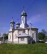 Saint Nicholas Church in Cârligele
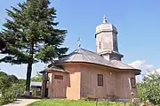 Wooden church at Dălhăuți Monastery
This article is issued from Wikipedia. The text is licensed under Creative Commons - Attribution - Sharealike. Additional terms may apply for the media files.