Caazapá | |
|---|---|
City | |
 Flag | |
 Caazapá | |
| Coordinates: 26°12′00″S 56°22′48″W / 26.20000°S 56.38000°W | |
| Country | |
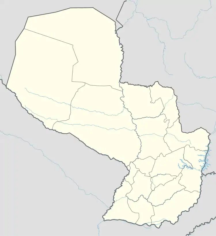
| Department | Caazapá |
| Founded | January 10, 1607 by Luis de Bolaños |
| Government | |
| • Intendente Municipal | Víctor Manuel López Espínola |
| Area | |
| • Total | 944 km2 (364 sq mi) |
| Elevation | 155 m (509 ft) |
| Population (2008) | |
| • Total | 23,996 |
| • Density | 25/km2 (66/sq mi) |
| Time zone | UTC-04 (AST) |
| • Summer (DST) | UTC-03 (ADT) |
| Postal code | 5600 |
| Area code | (595) (542) |
Caazapá (Spanish pronunciation: [ka(a)saˈpa]) is a city in Paraguay, founded in 1607, by Friar Luis de Bolaños. It is located in the Caazapá District and is the capital of the Caazapá Department. There are five neighbourhoods called "Barrios" in the city: Then main one is the Barrio San Pablo, the other 4 are: Barrio Santa Teresita, Barrio San Blás, Barrio San Antonio, and Barrio San Roque-within which is the original Chapel, built by franciscans during the famous Jesuit reductions of Paraguay. The Franciscan Reduction at Caazapá was an important event in Paraguayan cultural heritage.
Etymology
The city gets its name from the Jesuit reduction originally located in it. The latter was called Caaçapá in Classical Guarani, meaning "[the place] after the forest." This was due to the natives' belief that somewhere beyond the forest God, through Friar Luis de Bolaños, had made water spring out.
References
- Geografía Ilustrada del Paraguay, Distribuidora Arami SRL; 2007.
- Geografía del Paraguay, Primera Edición 1999, Editorial Hispana Paraguay SRL