Cabin Point, Virginia | |
|---|---|
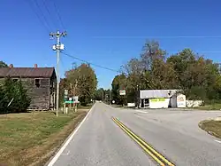 Intersection of Colonial Trial and Cabin Point Road; Cabin Point Mercantile store on the right | |
 Cabin Point, Virginia  Cabin Point, Virginia | |
| Coordinates: 37°11′06″N 77°01′54″W / 37.18500°N 77.03167°W | |
| Country | United States |
| State | Virginia |
| County | Surry |
| Elevation | 69 ft (21 m) |
| Time zone | UTC-5 (Eastern (EST)) |
| • Summer (DST) | UTC-4 (EDT) |
| Area code(s) | 757, 948 |
| GNIS feature ID | 1464229[1] |
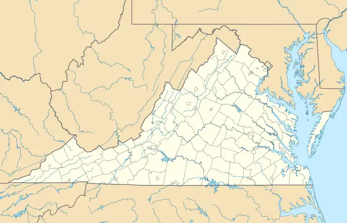
Cabin Point is an unincorporated community in Surry County, Virginia, United States. Cabin Point is located on Virginia State Route 10, 4.8 miles (7.7 km) southwest of Claremont. Montpelier, a home which is listed on the National Register of Historic Places, is located near Cabin Point.[2]
References
Municipalities and communities of Surry County, Virginia, United States | ||
|---|---|---|
| Towns | 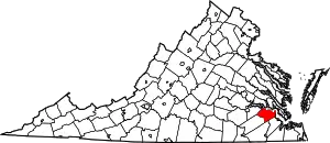 Map of Virginia highlighting Surry County | |
| CDP | ||
| Unincorporated communities | ||
This article is issued from Wikipedia. The text is licensed under Creative Commons - Attribution - Sharealike. Additional terms may apply for the media files.