Calacalí | |
|---|---|
Rural parish | |
.svg.png.webp) | |
 Calacalí | |
| Coordinates: 0°00′00″S 78°30′53″W / -0.00000°N 78.51472°W | |
| Country | |
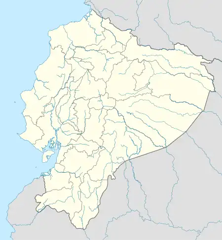
| Province | Pichincha |
| Canton | Quito |
| Time zone | UTC-5 (ECT) |
| Area code | 593 2 |
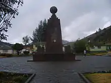
Equator monument in the central square of Calacalí
Calacalí is a rural parish of Quito Canton, Pichincha Province, Ecuador. It is northwest of Casitagua Volcano and southwest of Pululagua Volcano.
In the central square of Calacalí there is an equator monument. A similar, larger equator monument is in Ciudad Mitad del Mundo.
Calacalí is the first village of the eastern end of a road known as Carretera Calacalí-La Independencia.
Parishes of the Metropolitan District of Quito | ||
|---|---|---|
| Urban parishes |
|  |
| Rural parishes |
| |
This article is issued from Wikipedia. The text is licensed under Creative Commons - Attribution - Sharealike. Additional terms may apply for the media files.