Callahan, California | |
|---|---|
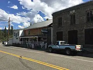 The convenience store and bar in Callahan | |
 Callahan, California  Callahan, California | |
| Coordinates: 41°18′35″N 122°48′05″W / 41.30972°N 122.80139°W | |
| Country | United States |
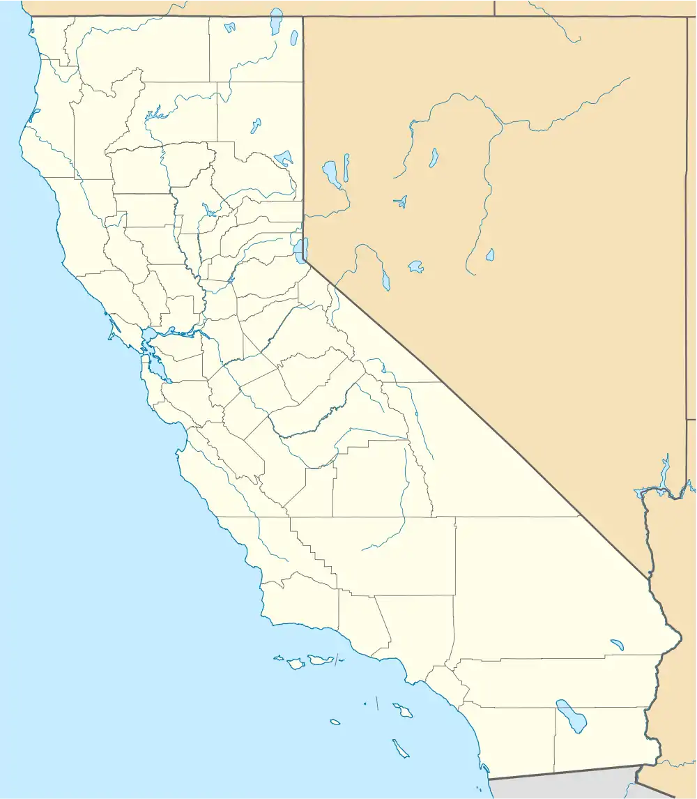
| State | California |
| County | Siskiyou |
| Elevation | 3,140 ft (960 m) |
| Time zone | UTC-8 (Pacific (PST)) |
| • Summer (DST) | UTC-7 (PDT) |
| ZIP code | 96014 |
| Area code | 530 |
| GNIS feature ID | 257834[1] |
Callahan is an unincorporated community in Siskiyou County, California, United States. Callahan is located on California State Route 3 11.5 miles (18.5 km) south-southeast of Etna. Callahan has a post office with ZIP code 96014. As of 2009 it has a population of 50~.[2]
History
The post office opened as Callahan's Ranch in 1858 and changed its name to Callahan in 1892. The community was named after M.B. Callahan, who opened a travelers' stop in the community in 1851.[3]
Climate
This region experiences warm (but not hot) and dry summers, with no average monthly temperatures above 71.6 °F. According to the Köppen Climate Classification system, Callahan has a warm-summer Mediterranean climate, abbreviated "Csb" on climate maps.[4]
| Climate data for Callahan (1943-2012) | |||||||||||||
|---|---|---|---|---|---|---|---|---|---|---|---|---|---|
| Month | Jan | Feb | Mar | Apr | May | Jun | Jul | Aug | Sep | Oct | Nov | Dec | Year |
| Record high °F (°C) | 65 (18) |
72 (22) |
82 (28) |
86 (30) |
98 (37) |
103 (39) |
106 (41) |
105 (41) |
105 (41) |
91 (33) |
75 (24) |
65 (18) |
106 (41) |
| Mean daily maximum °F (°C) | 44.9 (7.2) |
50.9 (10.5) |
56.4 (13.6) |
62.7 (17.1) |
71.5 (21.9) |
80.1 (26.7) |
88.5 (31.4) |
87.2 (30.7) |
80.6 (27.0) |
68 (20) |
51.9 (11.1) |
44.2 (6.8) |
65.6 (18.7) |
| Mean daily minimum °F (°C) | 25.4 (−3.7) |
27.9 (−2.3) |
29.9 (−1.2) |
32.7 (0.4) |
38 (3) |
43.7 (6.5) |
48.9 (9.4) |
47.5 (8.6) |
41.7 (5.4) |
35.2 (1.8) |
29.8 (−1.2) |
25.7 (−3.5) |
35.5 (1.9) |
| Record low °F (°C) | −6 (−21) |
−1 (−18) |
4 (−16) |
18 (−8) |
21 (−6) |
23 (−5) |
30 (−1) |
32 (0) |
23 (−5) |
15 (−9) |
9 (−13) |
−9 (−23) |
−9 (−23) |
| Average precipitation inches (mm) | 3.46 (88) |
2.7 (69) |
2.1 (53) |
1.26 (32) |
1.09 (28) |
0.76 (19) |
0.43 (11) |
0.37 (9.4) |
0.5 (13) |
1.57 (40) |
2.88 (73) |
3.79 (96) |
20.92 (531) |
| Average snowfall inches (cm) | 4.5 (11) |
1.7 (4.3) |
2.2 (5.6) |
0.3 (0.76) |
0.2 (0.51) |
0 (0) |
0 (0) |
0 (0) |
0 (0) |
0.1 (0.25) |
1.3 (3.3) |
2.6 (6.6) |
12.8 (33) |
| Average precipitation days | 12 | 10 | 11 | 8 | 7 | 5 | 2 | 2 | 3 | 6 | 11 | 12 | 89 |
| Source: WRCC[5] | |||||||||||||
References
- ↑ U.S. Geological Survey Geographic Names Information System: Callahan, California
- ↑ ZIP Code Lookup
- ↑ Durham, David L. (1998). California's Geographic Names: A Gazetteer of Historic and Modern Names of the State. Quill Driver Books. p. 206. ISBN 1-884995-14-4.
- ↑ Climate Summary for Callahan, California
- ↑ "CALLAHAN, CA (041316)". Western Regional Climate Center. Retrieved November 29, 2015.
Municipalities and communities of Siskiyou County, California, United States | ||
|---|---|---|
| Cities |  Siskiyou County map | |
| CDPs | ||
| Unincorporated communities | ||
| Indian reservation | ||
| Ghost towns | ||
| Footnotes | ‡This populated place also has portions in an adjacent county or counties | |
This article is issued from Wikipedia. The text is licensed under Creative Commons - Attribution - Sharealike. Additional terms may apply for the media files.