Guasave Airfield Aeropuerto de Guasave | |||||||||||
|---|---|---|---|---|---|---|---|---|---|---|---|
| Summary | |||||||||||
| Airport type | Public | ||||||||||
| Serves | Guasave, Sinaloa, Mexico | ||||||||||
| Time zone | MST (UTC−07:00) | ||||||||||
| Elevation AMSL | 28 m / 92 ft | ||||||||||
| Coordinates | 25°39′08″N 108°32′17″W / 25.65222°N 108.53806°W | ||||||||||
| Map | |||||||||||
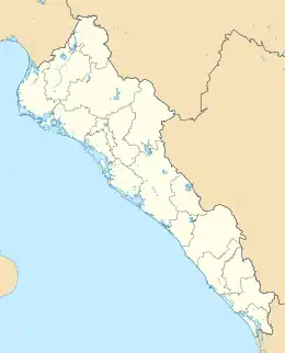 MM52 Location of the airport in Sinaloa 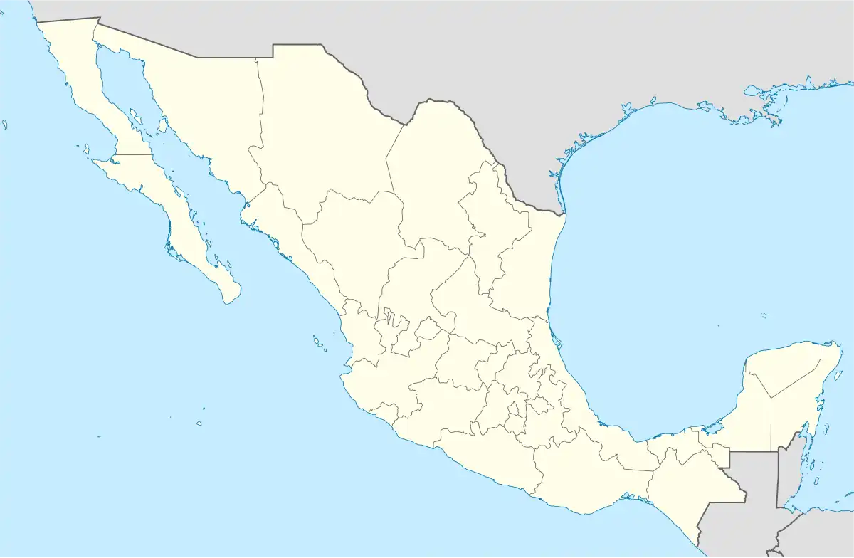 MM52 MM52 (Mexico) | |||||||||||
| Runways | |||||||||||
| |||||||||||
| Statistics (2022) | |||||||||||
| |||||||||||
Source: Agencia Federal de Aviación Civil[1] | |||||||||||
Guasave Airfield, (Spanish: Aeropuerto de Guasave), also known as Aeropuerto Nacional Campo Cuatro Milpas (Campo Cuatro Milpas National Airport) or Aeródromo Camagüey (Camagüey Aerodrome) (ICAO: MM52, FAA LID: CMG), is a small airstrip located in Guasave, the fourth-largest city in the state of Sinaloa, Mexico. It handles domestic air traffic for the city of Guasave.
It is situated at an elevation of 28 metres (92 ft) above mean sea level, featuring a single asphalt runway, designated as 09/27, measuring 1,969 by 25 metres (6,460 by 82 ft). Adjacent facilities include small hangars and unpaved parking positions for aircraft. Over the years, it has experienced intermittent service by regional airlines, offering seasonal flights within the region.[2]
Airlines and destinations
Passenger
| Airlines | Destinations |
|---|---|
| Calafia Airlines | Cabo San Lucas |
Destinations map
Red = Year-round destination
Blue = Future destination
Green = Seasonal destination
See also
References
- ↑ Airport information for Campo Cuatro Milpas[usurped] from DAFIF (effective October 2006)
- ↑ "Aeropuerto Nacional Campo Cuatro Milpas" (in Spanish).
External links
- Aeronautical chart and airport information for MM52 at SkyVector
- Current weather for MM52 at NOAA/NWS
- Aerial image of Campo Cuatro Milpas at OurAirports.com