Camporrotuno | |
|---|---|
Locality | |
 | |
 Camporrotuno  Camporrotuno | |
| Coordinates: 42°20′42″N 0°9′38″E / 42.34500°N 0.16056°E[1] | |
| Country | |
| Autonomous community | |
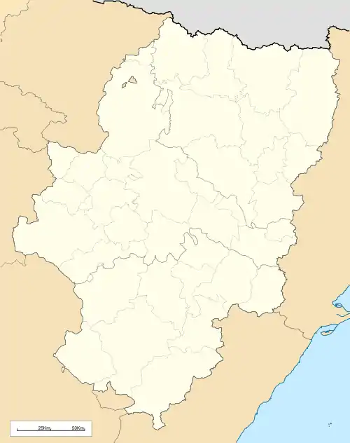
| Province | Province of Huesca |
| Municipality | Aínsa-Sobrarbe |
| Elevation | 578 m (1,896 ft) |
| Population | |
| • Total | 22 |
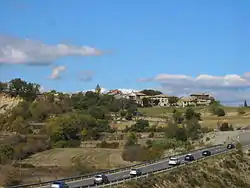
Camporrotuno is a locality located in the municipality of Aínsa-Sobrarbe, in Huesca province, Aragon, Spain. In 2020, it had a population of 22.[2]
Geography
Camporrotuno is located 107km east-northeast of Huesca.
References
- ↑ Mapa de Camporrotuno, Aínsa-Sobrarbe, Provincia de Huesca, Aragón
- ↑ "Nomenclátor: Población del Padrón Continuo por Unidad Poblacional" (in Spanish). Instituto Nacional de Estadística (España). Retrieved 4 October 2021.
This article is issued from Wikipedia. The text is licensed under Creative Commons - Attribution - Sharealike. Additional terms may apply for the media files.