Canyon | |
|---|---|
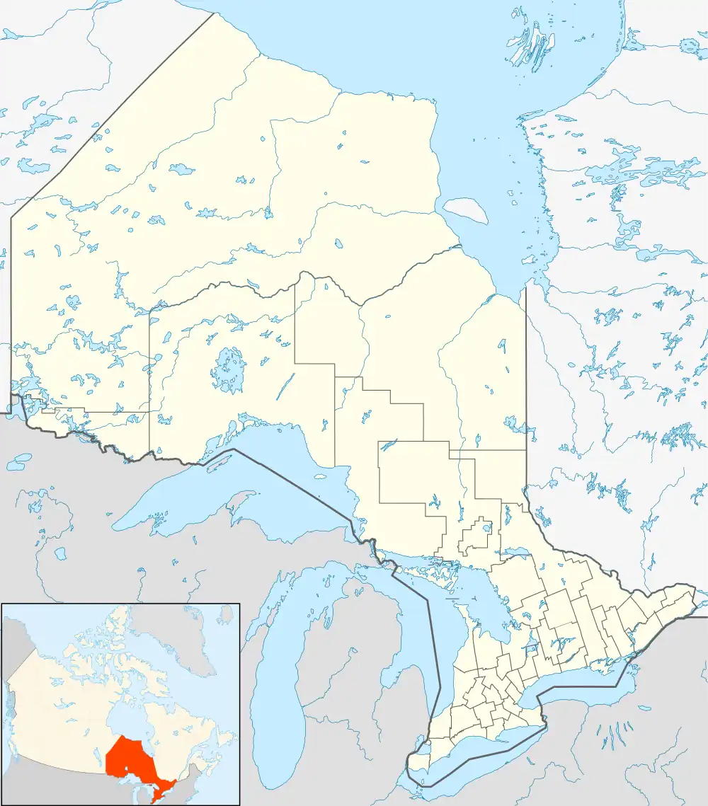 Canyon Location of Canyon in Ontario | |
| Coordinates: 47°25′28″N 84°29′02″W / 47.42444°N 84.48389°W | |
| Country | Canada |
| Province | Ontario |
| Region | Northeastern Ontario |
| District | Algoma |
| Part | Algoma, Unorganized North |
| Elevation | 287 m (942 ft) |
| Time zone | UTC-5 (Eastern Time Zone) |
| • Summer (DST) | UTC-4 (Eastern Time Zone) |
| Postal code FSA | P0S |
| Area code(s) | 705, 249 |
Canyon is an unincorporated place on the Agawa River in the Unorganized North part of Algoma District in northeastern Ontario, Canada.[1] It lies on the Algoma Central Railway (ACR) main line,[2] between Frater to the south and Eton to the north, and Canyon (Agawa) railway station is served by the ACR regular passenger train and the Agawa Canyon Tour Train.
References
- ↑ "Canyon". Geographical Names Data Base. Natural Resources Canada. Retrieved 2011-07-11.
- ↑ Map 12 (PDF) (Map). 1 : 1,600,000. Official road map of Ontario. Ministry of Transportation of Ontario. 2010-01-01. Retrieved 2011-07-11.
This article is issued from Wikipedia. The text is licensed under Creative Commons - Attribution - Sharealike. Additional terms may apply for the media files.