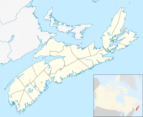
Caribou Marsh 29 in Nova Scotia
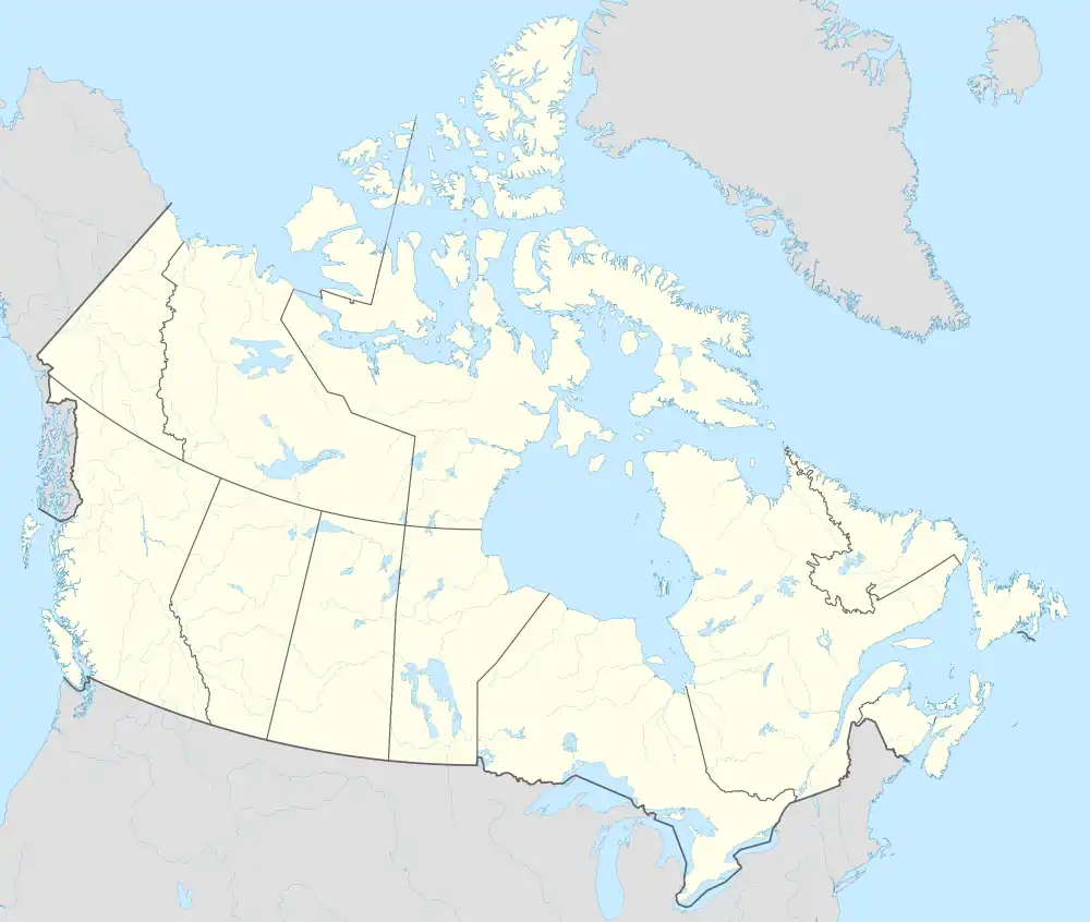
Caribou Marsh 29 (Canada)

Caribou Marsh Reserve No. 29. Plan of Indian Reserve near new Mira Road seven miles from Sydney C.B.
Caribou Marsh 29[1] is a Mi'kmaq reserve in Cape Breton County, Nova Scotia,[2] 8 kilometres (5.0 mi) southwest of Sydney.
It is an unpopulated reserve,[3] encompassing 219.3 hectares (542 acres), and was established on 28 April 1882.[4]
It is administratively part of the Membertou First Nation.[4]
References
- ↑ "Geographical Names of Canada - Caribou Marsh 29". Government of Canada. Archived from the original on January 1, 2013. Retrieved April 22, 2012.
- ↑ "Aboriginal Communities in Canada - Nova Scotia - CARIBOU MARSH 29". Government of Canada. Archived from the original on February 6, 2013. Retrieved April 22, 2012.
- ↑ "Nova Scotia Community Counts". Province of Nova Scotia. Retrieved April 22, 2012.
- 1 2 "Aboriginal Affairs and Northern Development Canada - Membertou Band". Government of Canada. Archived from the original on 2012-04-16. Retrieved April 22, 2012.
46°3′14″N 60°13′10″W / 46.05389°N 60.21944°W
This article is issued from Wikipedia. The text is licensed under Creative Commons - Attribution - Sharealike. Additional terms may apply for the media files.