| Cascade Western Australia | |
|---|---|
 Cascade | |
| Coordinates | 33°28′S 121°04′E / 33.47°S 121.07°E |
| Population | 103 (SAL 2021)[1] |
| Established | 1976 |
| Postcode(s) | 6450 |
| Elevation | 182 m (597 ft) |
| Area | 1,285.3 km2 (496.3 sq mi) |
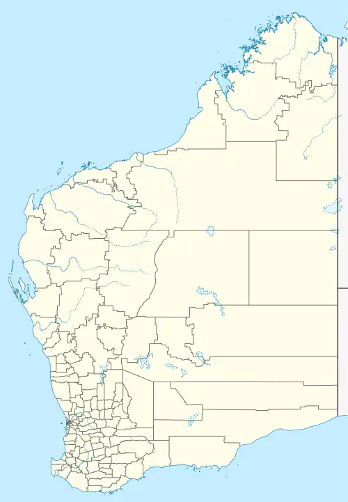
| Location | |
| LGA(s) | Shire of Esperance |
| State electorate(s) | Roe |
| Federal division(s) | O'Connor |
Cascade is a small town in Western Australia located 677 kilometres (421 mi) east of Perth along the South Coast between Ravensthorpe and Esperance in the Goldfields-Esperance region of Western Australia. At the 2006 census, Cascade had a population of 158.[2]
The origin of the name is unknown except that it was suggested by the Shire of Esperance. The townsite was gazetted on 19 November 1976.[3][4]
The main industry in town is wheat farming with the town being a Cooperative Bulk Handling receival site.[5]
References
- ↑ Australian Bureau of Statistics (28 June 2022). "Cascade (WA) (suburb and locality)". Australian Census 2021 QuickStats. Retrieved 28 June 2022.
- ↑ Australian Bureau of Statistics (25 October 2007). "Cascade (State Suburb)". 2006 Census QuickStats. Retrieved 28 June 2011.
- ↑ "History of country town names – C". Western Australian Land Information Authority. Archived from the original on 14 March 2022. Retrieved 24 January 2011.
- ↑ "New Townsite — Cascade (per 1743/72)". Western Australia Government Gazette. 19 November 1976. p. 1976:4594.
- ↑ "CBH Receival Sites - Contact Details" (PDF). 2010. Archived from the original (PDF) on 18 March 2012. Retrieved 31 March 2013.
This article is issued from Wikipedia. The text is licensed under Creative Commons - Attribution - Sharealike. Additional terms may apply for the media files.