| Casserly Creek | |
|---|---|
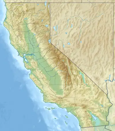 Location of mouth | |
| Location | |
| Country | United States |
| State | California |
| Region | Santa Clara and Santa Cruz Counties, California |
| Physical characteristics | |
| Source | west slope of Mount Madonna in the southern Santa Cruz Mountains |
| • coordinates | 37°00′30″N 121°42′59″W / 37.00833°N 121.71639°W[1] |
| • elevation | 1,843 ft (562 m) |
| Mouth | Marsh draining into College Lake on Salsipuedes Creek |
• location | Interlaken, California |
• coordinates | 36°57′16″N 121°44′37″W / 36.95444°N 121.74361°W[1] |
• elevation | 59 ft (18 m) |
| Length | 6.1 mi (9.8 km) |
Casserly Creek is a 6.2-mile-long (10.0 km)[2] stream originating on Mount Madonna in the southern Santa Cruz Mountains in Santa Clara County and flows southwest into Santa Cruz County and ends in a large marsh, which drains an additional 0.6 miles (0.97 km) into College Lake and Salsipuedes Creek, which, in turns, flows to the Pajaro River, and thence to Monterey Bay and the Pacific Ocean.
History
Casserly Creek was named for Eugene Casserly, an Irish-born American journalist, lawyer, and politician who moved to the area in 1853, and became a U. S. Senator from California.[3]
Watershed and Course
Casserly Creek has its origin just west of the peak of Mount Madonna in the southern Santa Cruz Mountains in Santa Clara County. It flows southwest until it is joined from the left by Gaffey Creek in Banks Canyon just before crossing into Santa Cruz County.[4] From there it turns south and is met on the right by its 8.7 miles (14.0 km)-long Green Valley Creek tributary, then on the right by Hughes Creek.[5] Just south of Interlaken it ends in a large marsh, which in turns drains into College Lake, the upper part of Salsipuedes Creek.,[6] which is in turn, tributary to the Pajaro River.
Ecology and Conservation
Casserly Creek is continuously used by steelhead trout (Oncorhynchus mykiss), and a 2007 report by Dr. Jerry Smith found multiple trout age classes from College Lake to the Banks Canyon/Gaffey Creek confluence.[7]
See also
References
- 1 2 U.S. Geological Survey Geographic Names Information System: Casserly Creek
- ↑ U.S. Geological Survey. National Hydrography Dataset high-resolution flowline data. The National Map Archived March 29, 2012, at the Wayback Machine, accessed March 27, 2022.
- ↑ Donald Thomas Clark (1986). Santa Cruz County Place Names. Santa Cruz, California: Santa Cruz County Historical Society. p. 66. ISBN 0-940283-01-8.
- ↑ "Gaffey Creek". Geographic Names Information System. United States Geological Survey, United States Department of the Interior.
- ↑ "Hughes Creek". Geographic Names Information System. United States Geological Survey, United States Department of the Interior.
- ↑ "College Lake". Geographic Names Information System. United States Geological Survey, United States Department of the Interior.
- ↑ Gordon S. Becker; Katherine M. Smetak; David A. Asbury (2010). Southern Steelhead Resources Evaluation – Identifying Promising Locations for Steelhead Restoration in Watersheds South of the Golden Gate – APPENDIX (PDF) (Report). Oakland, California: Center for Ecosystem Management and Restoration (CEMAR). p. 23. Retrieved February 26, 2023.