Castignano | |
|---|---|
| Comune di Castignano | |
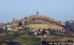
 View from Ripaberarda | |
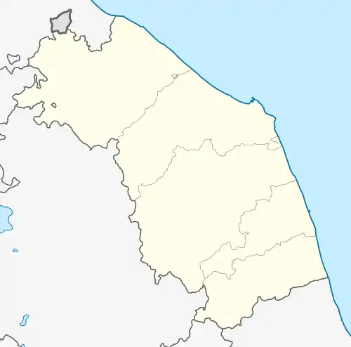
Location of Castignano | |
 Castignano Location of Castignano in Italy  Castignano Castignano (Marche) | |
| Coordinates: 42°56′20″N 13°37′25″E / 42.93889°N 13.62361°E | |
| Country | Italy |
| Region | Marche |
| Province | Ascoli Piceno (AP) |
| Frazioni | Ripaberarda, San Venanzo, San Martino, Castiglioni, Rufiano, Sant'Angelo di Ripaberarda |
| Government | |
| • Mayor | Fabio Pollini |
| Area | |
| • Total | 38.8 km2 (15.0 sq mi) |
| Elevation | 473 m (1,552 ft) |
| Population (30 June 2017)[2] | |
| • Total | 2,755 |
| • Density | 71/km2 (180/sq mi) |
| Demonym | Castignanesi |
| Time zone | UTC+1 (CET) |
| • Summer (DST) | UTC+2 (CEST) |
| Postal code | 63072 |
| Dialing code | 0736 |
| Website | Official website |
Castignano is a comune (municipality) in the Province of Ascoli Piceno in the Italian region Marche, located about 80 kilometres (50 mi) south of Ancona and about 10 kilometres (6 mi) northeast of Ascoli Piceno.
Castignano borders the following municipalities: Appignano del Tronto, Ascoli Piceno, Cossignano, Montalto delle Marche, Montedinove, Offida, Rotella.
Among its churches are the Sanctuary of San Bernardino da Siena and Santi Pietro e Paolo. Its territory is home to the oldest ever Italic language inscription found, the so-called "Stele of Castignano" (7th-6th centuries BC).
References
- ↑ "Superficie di Comuni Province e Regioni italiane al 9 ottobre 2011". Italian National Institute of Statistics. Retrieved 16 March 2019.
- ↑ All demographics and other statistics: Italian statistical institute Istat.
External links
This article is issued from Wikipedia. The text is licensed under Creative Commons - Attribution - Sharealike. Additional terms may apply for the media files.