 Castle Island as seen from Hot Water Beach | |
 Castle Island | |
| Geography | |
|---|---|
| Location | Coromandel Peninsula |
| Coordinates | 36°52′8″S 175°53′23″E / 36.86889°S 175.88972°E |
| Area | 0.02 km2 (0.0077 sq mi) |
| Length | 0.2 km (0.12 mi) |
| Width | 0.1 km (0.06 mi) |
| Highest elevation | 59 m (194 ft) |
| Highest point | Ponui |
| Administration | |
| Demographics | |
| Population | 0 |
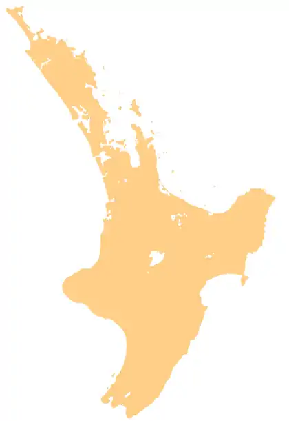
Castle Island is a small uninhabited island 6 kilometres (3.7 mi) off the coast of Hot Water Beach on the Coromandel Peninsula, New Zealand.[1]
References
- ↑ "Castle Island, Waikato – NZ Topo Map". NZ Topo Map. Land Information New Zealand. Retrieved 12 June 2018.
Wikimedia Commons has media related to Castle Island, New Zealand.
This article is issued from Wikipedia. The text is licensed under Creative Commons - Attribution - Sharealike. Additional terms may apply for the media files.