| Castra of Brâncovenești | |
|---|---|
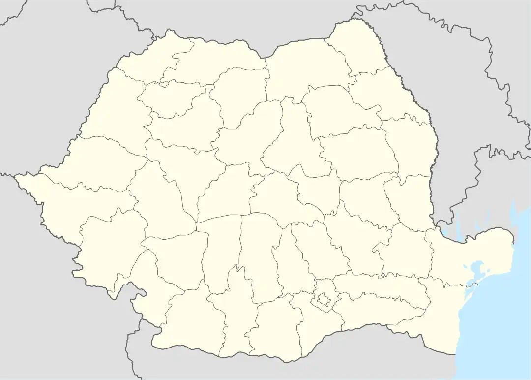
 Location within Romania | |
| Founded | 2nd century AD[1] |
| Abandoned | 3rd century AD[1] |
| Place in the Roman world | |
| Province | Dacia |
| Administrative unit | Dacia Porolissensis |
| Administrative unit | Dacia Superior |
| Limes | Porolissensis |
| Structure | |
| — Stone [2] structure — | |
| Size and area | 177 m × 144 m (2.55 [2] ha) |
| — Wood and earth [2] structure — | |
| Stationed military units | |
| — Alae — | |
| I Numeri Illyricorum[3] | |
| Location | |
| Coordinates | 46°51′43″N 24°46′07″E / 46.86184°N 24.76859°E |
| Place name | Castel |
| Town | Brâncovenești |
| County | Mureș |
| Country | |
| Reference | |
| RO-LMI | MS-I-s-B-15351[4] |
| RO-RAN | 115904.01[1] |
| Site notes | |
| Recognition | |
| Condition | Ruined |
| Excavation dates |
|
| Archaeologists | |
The castra of Brâncovenești was a fort in the Roman province of Dacia in the 2nd and 3rd centuries AD.[1][4] Its ruins are located in Brâncovenești, Romania.[1][4]
See also
Notes
- 1 2 3 4 5 "115904.01". National Archaeological Record of Romania (RAN). ran.cimec.ro. 2012-09-27. Archived from the original on 4 March 2016. Retrieved 4 January 2013.
- 1 2 3 "Strategii defensive și politici transfrontaliere la Dunărea de Jos - Brâncovenești". Archived from the original on 2012-03-16. Retrieved 2011-08-01.
- ↑ Panczel, Szilamer Peter (2012). "A new Roman altar from Gurghiu, Mureș County". Marisia. Retrieved 2013-05-26.
- 1 2 3 "Lista Monumentelor Istorice 2010 ("2010 List of Historic Monuments")" (PDF). Monitorul Oficial al României, Partea I, Nr. 670 ("Romania's Official Journal, Part I, Nr. 670"), page 1738. Ministerul Culturii şi Patrimoniului Naţional. 1 October 2010. Archived from the original (PDF) on 10 June 2012. Retrieved 4 January 2013.
- 1 2 "RUSSU, ION I. (1911-1985) - Bibliografia lucrărilor științifice ale membrilor Institutului de Istorie din Cluj (1920-2005)". ww.history-cluj.ro. Retrieved 7 December 2012.
- ↑ Bibliografia lucrărilor științifice ale membrilor Institutului de Istorie din Cluj (1920-2005)
External links
- Roman castra from Romania - Google Maps / Earth Archived 2012-12-05 at archive.today
46°51′43″N 24°46′07″E / 46.86194°N 24.76861°E
This article is issued from Wikipedia. The text is licensed under Creative Commons - Attribution - Sharealike. Additional terms may apply for the media files.