Cathedral Hill | |
|---|---|
City neighborhood | |
 | |
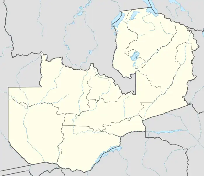
 Cathedral Hill Location in Zambia | |
| Coordinates: 15°25′17″S 28°18′35″E / 15.42139°S 28.30972°E | |
| Country | |
| Province | Lusaka |
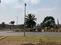
Cathedral Hill is a neighborhood in the city of Lusaka, the capital of Zambia.
Location
The neighborhood is bordered by Independence Avenue to the south and Cairo Road (T2) to the west. Church Road, Addis Ababa Road and Los Angeles Boulevard form the northern boundary of the neighborhood. The eastern boundary in marked by Leopards Hill Road and Chindo Road.[1] The coordinates of the neighborhood are 15°25'17.0"S, 28°18'35.0"E (Latitude:-15.421391; Longitude:28.309716).[2]
Overview
The neighborhood houses important national buildings, hotels, embassies, houses of worship, and businesses, including the following:[1]
- Supreme Court of Zambia
- High Court of Zambia
- Lusaka Central Railway Station
- Lusaka Central Bus Terminal
- Lusaka National Museum
- Headquarters of Zambia Development Agency
- High commission of Malawi to Zambia
- Cathedral of the Holy Cross (Anglican), seat of the Diocese of Lusaka[3]
- Headquarters of the Examinations Council of Zambia
- Zambian Italian Orthopedic Hospital
See also
References
- 1 2 Google (16 September 2016). "The Street Boundaries of Cathedral Hill, Lusaka" (Map). Google Maps. Google. Retrieved 16 September 2016.
- ↑ Google (16 September 2016). "Location of Cathedral Hill, Lusaka, Zambia" (Map). Google Maps. Google. Retrieved 16 September 2016.
- ↑ CHCL (16 September 2016). "Cathedral of The Holy Cross Lusaka: About The Cathedral". Lusaka: Cathedral of The Holy Cross Lusaka (CHCL). Retrieved 16 September 2016.
External links
This article is issued from Wikipedia. The text is licensed under Creative Commons - Attribution - Sharealike. Additional terms may apply for the media files.