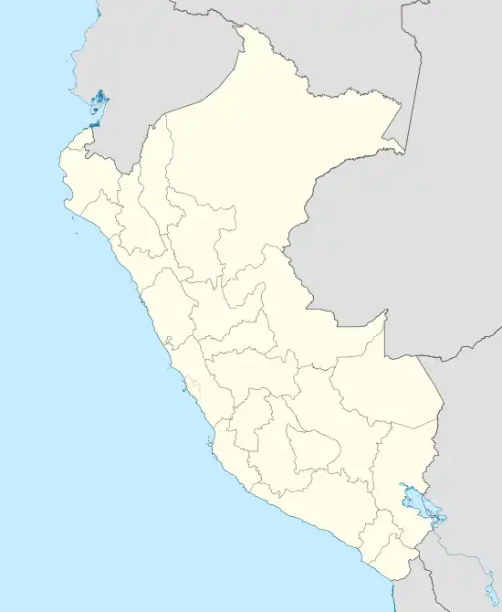
Ccatca | |
|---|---|
Village | |
 Ccatca | |
| Coordinates: 13°36′17″S 71°33′34″W / 13.60472°S 71.55944°W | |
| Country | |
| Region | Cusco |
| Province | Quispicanchi |
| District | Ccatca |
| Government | |
| • Mayor | Pedro Illanes Paucar |
| Elevation | 3,675 m (12,057 ft) |
| Time zone | UTC-5 (PET) |
CCatca is a town in Southern Peru, capital of the district Ccatca in the province Quispicanchi in the region Cusco.[1]
Climate
| Climate data for Ccatcca (elevation 3,681 m (12,077 ft), 1991–2020 normals) | |||||||||||||
|---|---|---|---|---|---|---|---|---|---|---|---|---|---|
| Month | Jan | Feb | Mar | Apr | May | Jun | Jul | Aug | Sep | Oct | Nov | Dec | Year |
| Mean daily maximum °C (°F) | 14.6 (58.3) |
14.4 (57.9) |
14.5 (58.1) |
15.2 (59.4) |
16.1 (61.0) |
15.7 (60.3) |
15.3 (59.5) |
15.6 (60.1) |
15.7 (60.3) |
16.1 (61.0) |
16.3 (61.3) |
15.3 (59.5) |
15.4 (59.7) |
| Mean daily minimum °C (°F) | 4.2 (39.6) |
4.2 (39.6) |
3.9 (39.0) |
2.4 (36.3) |
−0.5 (31.1) |
−2.1 (28.2) |
−2.7 (27.1) |
−1.5 (29.3) |
0.9 (33.6) |
2.7 (36.9) |
3.4 (38.1) |
3.9 (39.0) |
1.6 (34.8) |
| Average precipitation mm (inches) | 131.8 (5.19) |
134.8 (5.31) |
105.6 (4.16) |
29.8 (1.17) |
6.7 (0.26) |
6.1 (0.24) |
6.0 (0.24) |
10.0 (0.39) |
14.3 (0.56) |
42.2 (1.66) |
64.9 (2.56) |
114.3 (4.50) |
666.5 (26.24) |
| Source: National Meteorology and Hydrology Service of Peru[2] | |||||||||||||
References
- ↑ (in Spanish) Instituto Nacional de Estadística e Informática. Banco de Información Digital Archived April 23, 2008, at the Wayback Machine, Retrieved June 15, 2008
- ↑ "Normales Climaticás Estándares y Medias 1991-2020". National Meteorology and Hydrology Service of Peru. Archived from the original on 21 August 2023. Retrieved 25 October 2023.
External links
13°36′17″S 71°33′34″W / 13.60472°S 71.55944°W
This article is issued from Wikipedia. The text is licensed under Creative Commons - Attribution - Sharealike. Additional terms may apply for the media files.