Chalkidona
Χαλκηδόνα | |
|---|---|
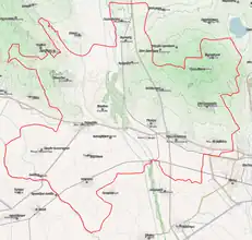 | |
 Chalkidona Location within the region 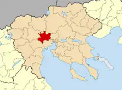 | |
| Coordinates: 40°44′N 22°36′E / 40.733°N 22.600°E | |
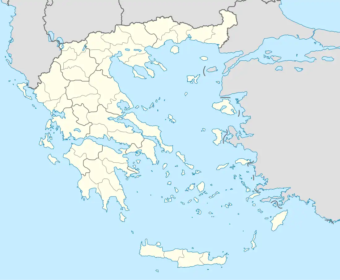
| Country | Greece |
| Administrative region | Central Macedonia |
| Regional unit | Thessaloniki |
| Area | |
| • Municipality | 391.4 km2 (151.1 sq mi) |
| • Municipal unit | 130.0 km2 (50.2 sq mi) |
| Elevation | 15 m (49 ft) |
| Population (2011)[1] | |
| • Municipality | 33,673 |
| • Municipality density | 86/km2 (220/sq mi) |
| • Municipal unit | 8,341 |
| • Municipal unit density | 64/km2 (170/sq mi) |
| Community | |
| • Population | 3,094 (2011) |
| • Area (km2) | 21.25 |
| Time zone | UTC+2 (EET) |
| • Summer (DST) | UTC+3 (EEST) |
Chalkidona (Greek: Χαλκηδόνα) is a municipality in the Thessaloniki regional unit, Greece. The seat of the municipality is Koufalia.[2] The town is a hub for trucking traffic around the Thessaloniki area.
Municipality
The municipality Chalkidona was formed at the 2011 local government reform by the merger of the following 3 former municipalities, that became municipal units:[2]
- Agios Athanasios
- Chalkidona
- Koufalia
The municipality Chalkidona has an area of 391.4 km2, the municipal unit Chalkidona has an area of 130.0 km2, and the community Chalkidona has an area of 21.25 km2.[3]
References
- 1 2 "Απογραφή Πληθυσμού - Κατοικιών 2011. ΜΟΝΙΜΟΣ Πληθυσμός" (in Greek). Hellenic Statistical Authority.
- 1 2 "ΦΕΚ A 87/2010, Kallikratis reform law text" (in Greek). Government Gazette.
- ↑ "Population & housing census 2001 (incl. area and average elevation)" (PDF) (in Greek). National Statistical Service of Greece. Archived from the original (PDF) on 2015-09-21.
Administrative division of the Central Macedonia Region | ||
|---|---|---|
| ||
| Regional unit of Chalkidiki |  | |
| Regional unit of Imathia | ||
| Regional unit of Kilkis | ||
| Regional unit of Pella | ||
| Regional unit of Pieria | ||
| Regional unit of Serres | ||
| Regional unit of Thessaloniki | ||
| ||
This article is issued from Wikipedia. The text is licensed under Creative Commons - Attribution - Sharealike. Additional terms may apply for the media files.