Chambers County-Winnie Stowell Airport | |||||||||||
|---|---|---|---|---|---|---|---|---|---|---|---|
| Summary | |||||||||||
| Airport type | Public | ||||||||||
| Owner | Chambers County Commissioners Court | ||||||||||
| Serves | Winnie / Stowell, Texas | ||||||||||
| Elevation AMSL | 24 ft / 7 m | ||||||||||
| Coordinates | 29°49′09″N 094°25′51″W / 29.81917°N 94.43083°W | ||||||||||
| Map | |||||||||||
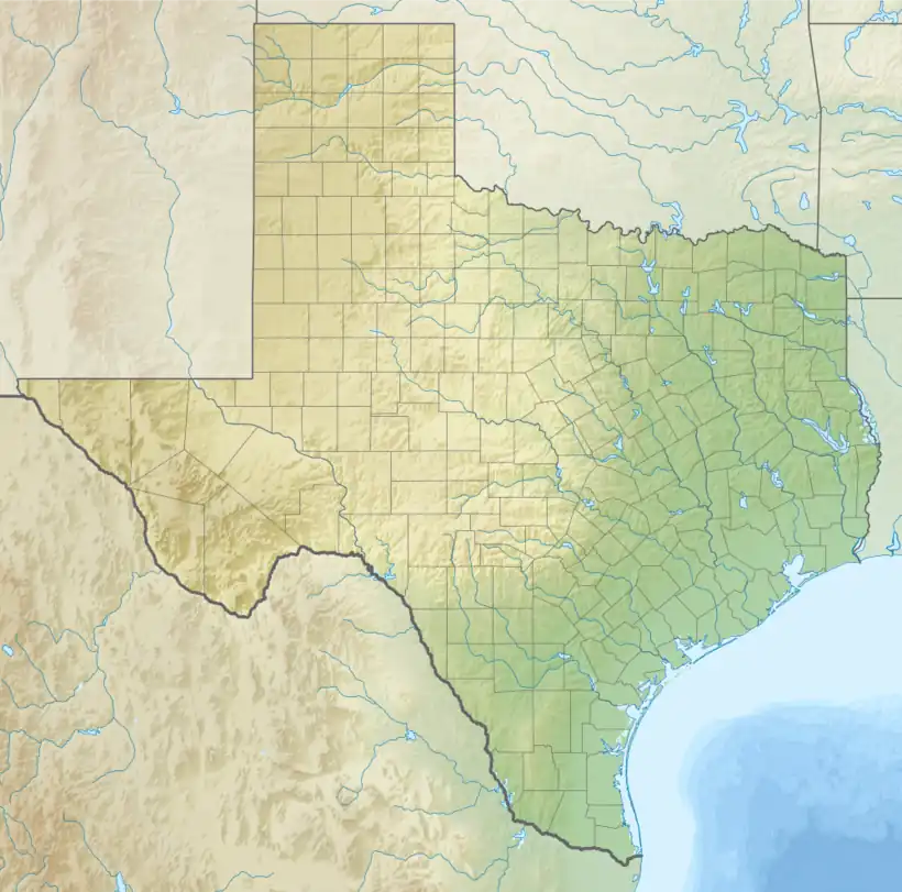
 T90 Location of airport in Texas  T90 T90 (the United States) | |||||||||||
| Runways | |||||||||||
| |||||||||||
| Statistics (2023) | |||||||||||
| |||||||||||
Chambers County-Winnie Stowell Airport (FAA LID: T90) is a county-owned public-use airport located in Chambers County, Texas, United States. The airport is named after the unincorporated communities of Winnie and Stowell, both located east of the airport. It is also known as Tom Jenkins Memorial Airport.[2]
Facilities and aircraft
Chambers County-Winnie Stowell Airport covers an area of 112 acres (45 ha) at an elevation of 24 feet (7 m) above mean sea level. It has one runway designated 17/35 with a 3,600 by 75 ft (1,097 x 23 m) asphalt pavement.[1]
For the 12-month period ending April 4, 2023, the airport had 6,000 aircraft operations, an average of 115 per week, all of which were general aviation. In April 2023, there were 14 aircraft based at this airport: 12 single-engine, 1 jet, and 1 helicopter.[1]
See also
References
- 1 2 3 FAA Airport Form 5010 for T90 PDF, effective October 5, 2023.
- ↑ Transportation Archived May 6, 2007, at the Wayback Machine" page at Chambers County website
External links
- Resources for this airport:
- FAA airport information for T90
- AirNav airport information for T90
- FlightAware airport information and live flight tracker
- SkyVector aeronautical chart for T90