| Chapel Flat Ballarat, Victoria | |||||||||||||||
|---|---|---|---|---|---|---|---|---|---|---|---|---|---|---|---|
 Chapel Flat | |||||||||||||||
| Coordinates | 37°28′41″S 143°53′41″E / 37.4780°S 143.8946°E | ||||||||||||||
| Population | 0 (2021 census)[1] | ||||||||||||||
| Postcode(s) | 3352 | ||||||||||||||
| LGA(s) | City of Ballarat | ||||||||||||||
| State electorate(s) | Ripon | ||||||||||||||
| Federal division(s) | Ballarat | ||||||||||||||
| |||||||||||||||
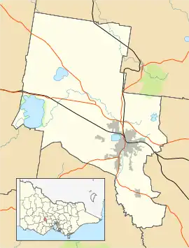
Chapel Flat is a locality on the Eastern rural fringe of the City of Ballarat municipality in Victoria, Australia. At the 2021 census, Chapel Flat had no residents.[1] The locality is almost entirely forested, containing the Creswick Plantation and part of the Creswick State Forest.
References
- 1 2 Australian Bureau of Statistics (28 June 2022). "Chapel Flat (State Suburb)". 2021 Census QuickStats. Retrieved 4 November 2022.
| City | | |
|---|---|---|
| Town |
| |
| Locality | ||
^ - Territory divided with another LGA | ||
This article is issued from Wikipedia. The text is licensed under Creative Commons - Attribution - Sharealike. Additional terms may apply for the media files.