Chauncey, West Virginia | |
|---|---|
 Chauncey  Chauncey | |
| Coordinates: 37°45′58″N 81°59′15″W / 37.76611°N 81.98750°W | |
| Country | United States |
| State | West Virginia |
| County | Logan |
| Area | |
| • Total | 1.445 sq mi (3.74 km2) |
| • Land | 1.437 sq mi (3.72 km2) |
| • Water | 0.008 sq mi (0.02 km2) |
| Elevation | 794 ft (242 m) |
| Population | |
| • Total | 283 |
| • Density | 200/sq mi (76/km2) |
| Time zone | UTC-5 (Eastern (EST)) |
| • Summer (DST) | UTC-4 (EDT) |
| ZIP code | 25612[3] |
| Area code(s) | 304 & 681 |
| GNIS feature ID | 1554115[4] |
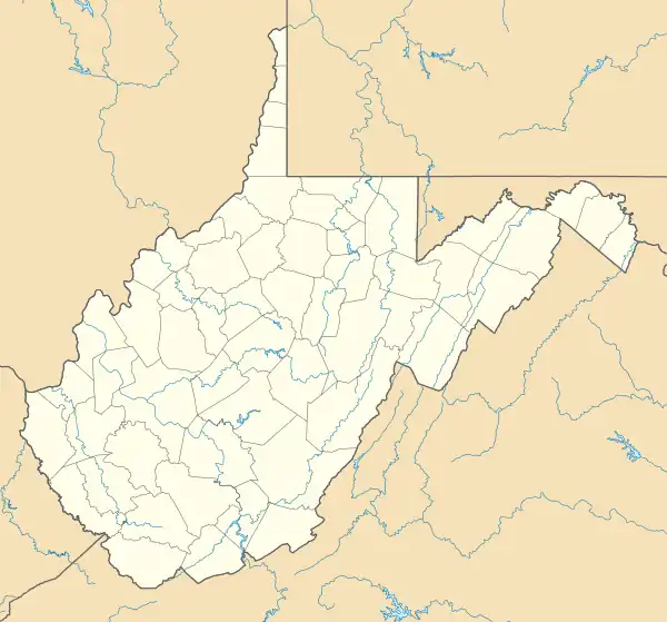
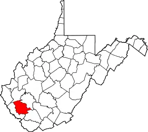
Chauncey is a census-designated place (CDP) in Logan County, West Virginia, United States. Chauncey is located along West Virginia Route 44 and Island Creek, 5.5 miles (8.9 km) south of Logan.[5] Chauncey had a post office, which opened on August 23, 1913, and closed on June 27, 2009.[6] As of the 2010 census, its population is 283.[2]
References
- ↑ "US Gazetteer files: 2010, 2000, and 1990". United States Census Bureau. February 12, 2011. Retrieved April 23, 2011.
- 1 2 "U.S. Census website". United States Census Bureau. Retrieved May 14, 2011.
- ↑ United States Postal Service (2012). "USPS - Look Up a ZIP Code". Retrieved February 15, 2012.
- ↑ U.S. Geological Survey Geographic Names Information System: Chauncey, West Virginia
- ↑ West Virginia Atlas & Gazetteer. Yarmouth, Me.: DeLorme. 1997. p. 57. ISBN 0-89933-246-3.
- ↑ "Postmaster Finder - Post Offices by ZIP Code". United States Postal Service. Archived from the original on October 17, 2020. Retrieved November 10, 2011.
This article is issued from Wikipedia. The text is licensed under Creative Commons - Attribution - Sharealike. Additional terms may apply for the media files.
