 View of the Ma Campagne crossroad with the Chaussée de Charleroi/Charleroisesteenweg | |
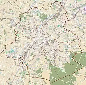
 Location within Brussels  Chaussée de Charleroi (Belgium) | |
| Location | City of Brussels, Brussels-Capital Region, Belgium |
|---|---|
| Coordinates | 50°49′43″N 4°21′20″E / 50.82861°N 4.35556°E |
The Chaussée de Charleroi (French: [ʃo.se d(ə) ʃaʁ.lə.ʁwa]) or Charleroisesteenweg (Dutch) is a major street in Brussels, Belgium, running through the municipalities of Saint-Gilles and the City of Brussels. It connects the Place Stéphanie/Stefanieplein in the City of Brussels to the Ma Campagne crossroad in Saint-Gilles. It forms the N261 road with the Avenue Brugmann/Brugmannlaan, the Rue de Stalle/Stallestraat and the Rue Prolongée de Stalle/Verlengde Stallestraat. It is named after the city of Charleroi (Wallonia).[1][2]
Many bars, restaurants, hotels and shops are located on the Chaussée de Charleroi. The Brussels tram routes 92 and 97 also run on this street.
See also
References
Citations
- ↑ "Chaussée de Charleroi – Inventaire du patrimoine architectural". monument.heritage.brussels (in French). Retrieved 4 November 2023.
- ↑ "Chaussée de Charleroi – Inventaire du patrimoine architectural". monument.heritage.brussels (in French). Retrieved 4 November 2023.
External links
 Media related to Chaussée de Charleroi/Charleroisesteenweg (Brussels) at Wikimedia Commons
This article is issued from Wikipedia. The text is licensed under Creative Commons - Attribution - Sharealike. Additional terms may apply for the media files.