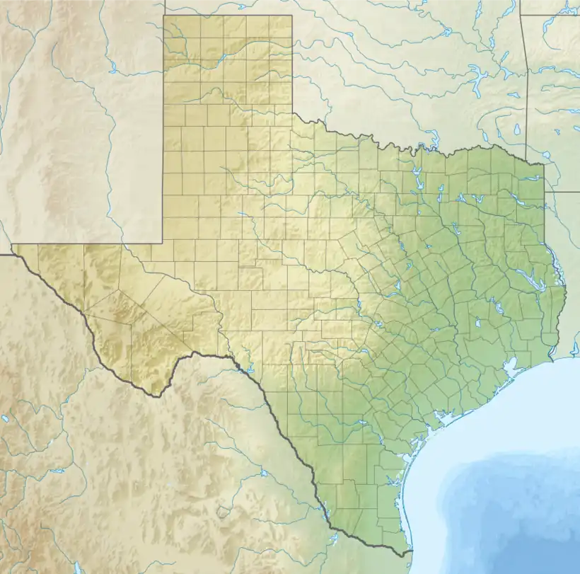
Chinati, Texas | |
|---|---|
Unincorporated community | |
 Chinati, Texas Location within Texas | |
| Coordinates: 29°49′27″N 104°36′21″W / 29.82417°N 104.60583°W | |
| Country | United States |
| State | Texas |
| County | Presidio |
| Elevation | 2,694 ft (821 m) |
| Time zone | UTC-6 (Central (CST)) |
| • Summer (DST) | UTC-5 (CDT) |
| ZIP codes | 79843 |
| Area code | 432 |
| GNIS feature ID | 2034438[1] |
Chinati is an unincorporated community in Presidio County, Texas, United States. It is named after the surrounding Chinati Mountain Range. The word "chinati" derives from the Apache word ch'íná'itíh, which means gate or mountain pass.
Education
Chinati is zoned to schools in the Presidio Independent School District.
References
External links
- Smith, Julia Cauble. "Chinati, TX". TSHA Handbook of Texas Online. Texas State Historical Association.
- United States Geological Survey. Adobes, TX quadrangle, Chinati, Texas (Topographic map). Reston, VA: United States Geological Survey – via TopoQuest.
This article is issued from Wikipedia. The text is licensed under Creative Commons - Attribution - Sharealike. Additional terms may apply for the media files.
