| Cho La | |
|---|---|
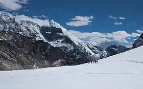
 Cho La, panoramic view to the east | |
| Elevation | 5,420 m (17,782 ft) |
| Location | Solukhumbu District, Nepal |
| Range | Himalayas |
| Coordinates | 27°57′44″N 86°45′07″E / 27.962122°N 86.751923°E |
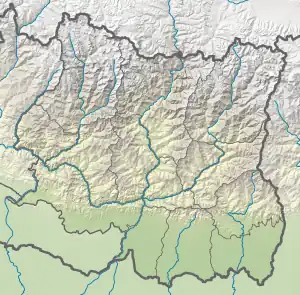
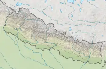
 Location of the pass  Cho La (Nepal) | |
Cho La is a summit pass located 5,420 metres (17,782 ft) above sea level in the Solukhumbu District in northeastern Nepal. It connects the village of Dzongla (4,830 metres (15,850 ft)) to the east and the village of Thagnak (4,700 metres (15,400 ft)) to the west.
Tourism
The pass is on the Gokyo trail in the Khumbu Everest region. To the west the trail continues to the Gokyo Lakes, crossing the Ngozumpa glacier on the way. To the east the trail joins the Everest Base Camp trek.[1]
The pass can be physically demanding and may require crampons on top of the slippery glacier. The edge of the glacier is unstable.[1]

View to the east on descending from Cho La Pass into Chola Valley, 5,200 metres (17,100 ft) a. s. l. Glacial lake, rocks covered with snow, Ama Dablam (6,810 metres (22,343 ft)) and other Himalayas
References
- 1 2 Armington, Stan (2001). Trekking in the Nepal Himalaya. Lonely Planet. pp. 480. ISBN 978-1864502312.
This article is issued from Wikipedia. The text is licensed under Creative Commons - Attribution - Sharealike. Additional terms may apply for the media files.