Chomętowo | |
|---|---|
Village | |
 Chomętowo | |
| Coordinates: 53°12′30″N 15°48′14″E / 53.20833°N 15.80389°E | |
| Country | |
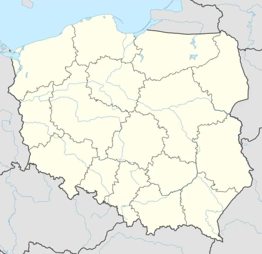
| Voivodeship | West Pomeranian |
| County | Choszczno |
| Gmina | Drawno |
| Time zone | UTC+1 (CET) |
| • Summer (DST) | UTC+2 (CEST) |
| Area code | +48 95 |
| Car plates | ZCH |
Chomętowo [xɔmɛnˈtɔvɔ] (formerly German: Großgut) is a village in the administrative district of Gmina Drawno, within Choszczno County, West Pomeranian Voivodeship, in north-western Poland.[1] It lies approximately 4 kilometres (2 mi) east of Drawno, 28 km (17 mi) east of Choszczno, and 85 km (53 mi) east of the regional capital Szczecin.
References
This article is issued from Wikipedia. The text is licensed under Creative Commons - Attribution - Sharealike. Additional terms may apply for the media files.