Chornyi Potik
Чорний Потік | |
|---|---|
Village | |
 | |
.png.webp) Flag  Coat of arms | |
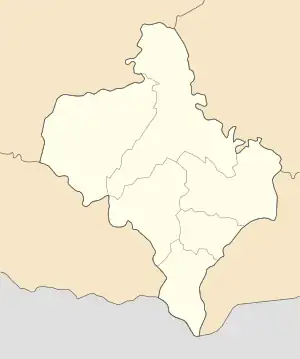 Chornyi Potik Location of Chornyi Potik 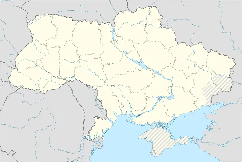 Chornyi Potik Chornyi Potik (Ukraine) | |
| Coordinates: 48°30′22″N 24°43′35″E / 48.50611°N 24.72639°E | |
| Country | |
| Oblast (province) | |
| Raion (district) | Nadvirna Raion |
| Hromada | Deliatyn settlement hromada |
| Elevation | 477 m (1,565 ft) |
| Population (2021) | |
| • Total | 2,996 |
| Time zone | UTC+1 (CET) |
| • Summer (DST) | UTC+2 (CEST) |
| Postal code | 78461 |
| Area code | +380 3475 |
Chornyi Potik (Ukrainian: Чорний Потік), is an urban-type settlement in Nadvirna Raion (district) of Ivano-Frankivsk Oblast (region) of Ukraine. It forms part of Deliatyn settlement hromada, one of the hromadas of Ukraine.[2]
Demographics
Languages
Native language as of the Ukrainian Census of 2001:[3]
| Language | Percentage |
|---|---|
| Ukrainian | 99.93 % |
| Other | 0.07 % |
References
- ↑ "Chornyi Potik (Ivano-Frankivsk Oblast)". weather.in.ua. Retrieved 21 March 2023.
- ↑ "Делятинская громада" (in Russian). Портал об'єднаних громад України.
- ↑ "Розподіл населення за рідною мовою, Херсонська область (у % до загальної чисельності населення) - Регіон, Рік , Вказали у якості рідної мову (2001(05.12))". Archived from the original on 31 July 2014. Retrieved 21 March 2023.
| Cities | Coat of arms of Nadvirna Raion | |
|---|---|---|
| Urban-type settlements | ||
| Villages |
| |
This article is issued from Wikipedia. The text is licensed under Creative Commons - Attribution - Sharealike. Additional terms may apply for the media files.