Chotów | |
|---|---|
Village | |
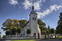
 Saint Martin church in Chotów | |
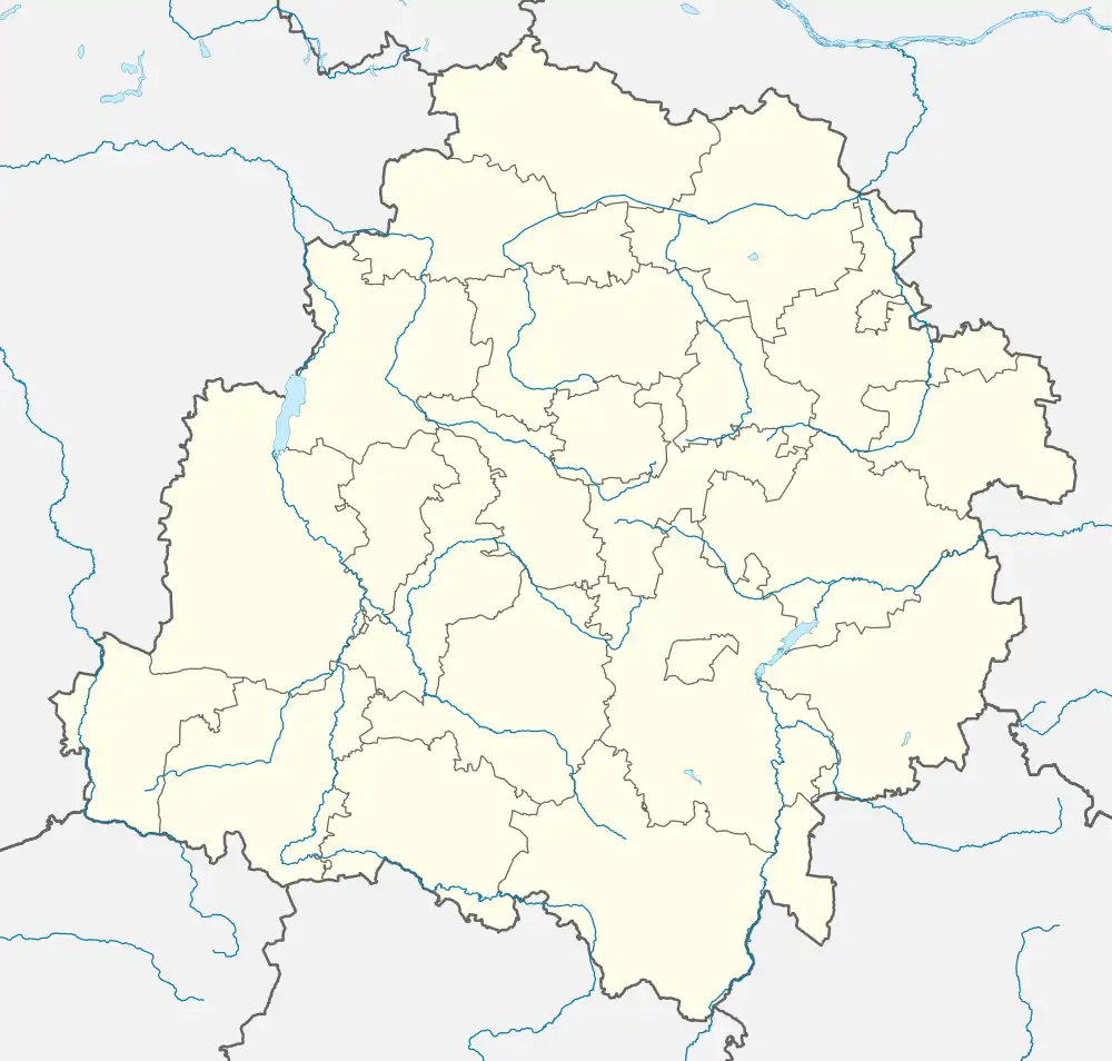
 Chotów  Chotów | |
| Coordinates: 51°12′10″N 18°29′4″E / 51.20278°N 18.48444°E | |
| Country | |
| Voivodeship | Łódź |
| County | Wieluń |
| Gmina | Mokrsko |
| Time zone | UTC+1 (CET) |
| • Summer (DST) | UTC+2 (CEST) |
| Vehicle registration | EWI |
Chotów [ˈxɔtuf] is a village in the administrative district of Gmina Mokrsko, within Wieluń County, Łódź Voivodeship, in south-central Poland.[1] It lies approximately 4 kilometres (2 mi) north-east of Mokrsko, 7 km (4 mi) west of Wieluń, and 94 km (58 mi) south-west of the regional capital Łódź.
History

The territory became a part of the emerging Polish state under its first historic ruler Mieszko I in the 10th century. The Renaissance Saint Martin church was built in 1619.[2]
In 1827, Chotów had a population of 411.[2]
During the German occupation of Poland (World War II), in 1940, the German gendarmerie carried out expulsions of Poles, who were either enslaved as forced labour in the region or deported to the General Government in the more eastern part of German-occupied Poland.[3] Houses and farms of expelled Poles were handed over to German colonists as part of the Lebensraum policy.[4]
References
- ↑ "Central Statistical Office (GUS) - TERYT (National Register of Territorial Land Apportionment Journal)" (in Polish). 2008-06-01.
- 1 2 Słownik geograficzny Królestwa Polskiego i innych krajów słowiańskich, Tom I (in Polish). Warsaw. 1880. p. 639.
{{cite book}}: CS1 maint: location missing publisher (link) - ↑ Wardzyńska, Maria (2017). Wysiedlenia ludności polskiej z okupowanych ziem polskich włączonych do III Rzeszy w latach 1939-1945 (in Polish). Warsaw: IPN. p. 254. ISBN 978-83-8098-174-4.
- ↑ Wardzyńska, p. 255
