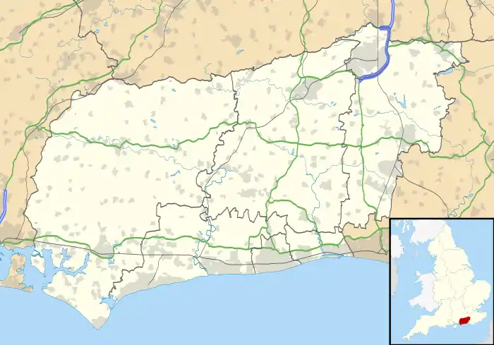
 Shown within West Sussex | |
| Location | near Findon, West Sussex |
|---|---|
| Coordinates | 50°51′48″N 0°25′5″W / 50.86333°N 0.41806°W |
| OS grid reference | TQ 114 083 |
| History | |
| Periods | Neolithic Bronze Age |
| Designated | 22 January 1935 |
| Reference no. | 1015238 |
Church Hill is an archaeological site, of the Neolithic and Bronze Age periods, in West Sussex, England. It is on the South Downs near the village of Findon and about 3 miles (4.8 km) north-west of Worthing. It is a scheduled monument.[1]
Description
Flint mine
There is a group of about 36 infilled shafts of a flint mine; the ground has been levelled by modern cultivation, but the shafts are visible on aerial photographs.[1] There was excavation by John Pull during 1932–1939 and 1945–1949; he excavated six shafts. There was further investigation during 1984–1986.[1][2]
The shafts were found to be 0.9–1.8 metres (2 ft 11 in – 5 ft 11 in) deep; galleries led from them along seams of flint. There were pottery sherds at the shaft bottoms, from the Late Neolithic period and Early to Middle Bronze Age.[1]
This is one of several flint mines in the area; others known nearby are at Blackpatch and Cissbury (both investigated by John Pull), and on Harrow Hill.[2][3]
Bowl barrow
A bowl barrow, largely levelled by modern ploughing, is situated in the south-east of the area of the mine, partly over an infilled mine shaft. It is known to have once been a circular mound, diameter about 15.5 metres (51 ft).[1] A beaker, with a cremation with two flint-axes, was discovered in the infilled shaft, showing continuation of the site into the Beaker period.[3]
References
- 1 2 3 4 5 Historic England. "Flint mine and a bowl barrow on Church Hill, 400m south west of Findon Place (1015238)". National Heritage List for England. Retrieved 13 December 2020.
- 1 2 "Neolithic flint mines" Bournemouth University. Retrieved 13 December 2020.
- 1 2 Richard Wainwright. A guide to the Prehistoric Remains in Britain. Volume One: South and East. Constable and Co, 1978. Page 243.