Chushka Spit
Kosa Chushka | |
|---|---|
 Kerch Strait satellite image. LandSat-5. 2011-08-30 | |
 Chushka Spit .jpg.webp) Chushka Spit | |
| Coordinates: 45°21′00″N 36°41′41″E / 45.35000°N 36.69472°E | |
| Location | Temryuksky District, Krasnodar Krai, Russia |
| Part of | Tuzla Island |
| Dimensions | |
| • Length | 18 kilometres (11 mi) |
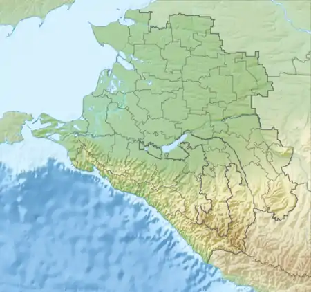
The Chushka Spit (Russian: Коса Чушка) is a sandy spit in the northern part of the Strait of Kerch which extends from Cape Achilleion to the south-west in the direction of the Black Sea for almost 18 kilometres (11 mi).[1][2] Administratively, it belongs to Temryuksky District, Krasnodar Krai, Russia.
Geography
The Chushka Spit forms the northern shore of Taman Bay; the southern shore was formerly the Tuzla Spit. It has many long branches extending to the south and was formerly joined to the Kerch Peninsula by the 1944 Kerch railway bridge. The main harbour on the spit is Port Kavkaz. It is also the terminal of the Kerch Strait ferry line connecting the Taman Peninsula with the Crimea.
Ecology

During a storm in November 2007, a Russian-flagged oil tanker was damaged off the Chushka Spit, resulting in the release of more than 2000 metric tons of fuel oil.[3] Invertebrates such as Mytilus galloprovincialis were badly affected by the spill, but recovered by the following summer.[4]
Lighthouse
In 1914 a lighthouse with a fixed red light at a height of 75.5 feet (23.0 m) was constructed.[5]
See also
References
- ↑ Chushka: Russia Geographic Names
- ↑ Kosa Chushka, Krasnodarskiy Kray, RussiaMindat.org
- ↑ Dmitry Ya Fashchuk Marine Ecological Geography: Theory and Experience page 409 Springer Science & Business Media, 2011, 434 pages ISBN 978-3-642-17444-5
- ↑ G.A. Kolyuchkina et all Long-term Effects of Kerch Strait Residual Oil-Spill: Hydrocarbon Concentration in Bottom Sediments and Biomarkers in Mytilus galloprovincialis (Lamarck, 1819) Turkish Journal of Fisheries and Aquatic Sciences 12: 461-469 (2012) ISSN 1303-2712 DOI: 10.4194/1303-2712-v12_2_37
- ↑ Notice of Mariners U.S.A. Navy Department. Bureau of Equipment. Hydrographic Office 2009 page 612