Cibubur | |
|---|---|
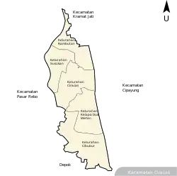
 Map of Ciracas district, and Cibubur within it | |
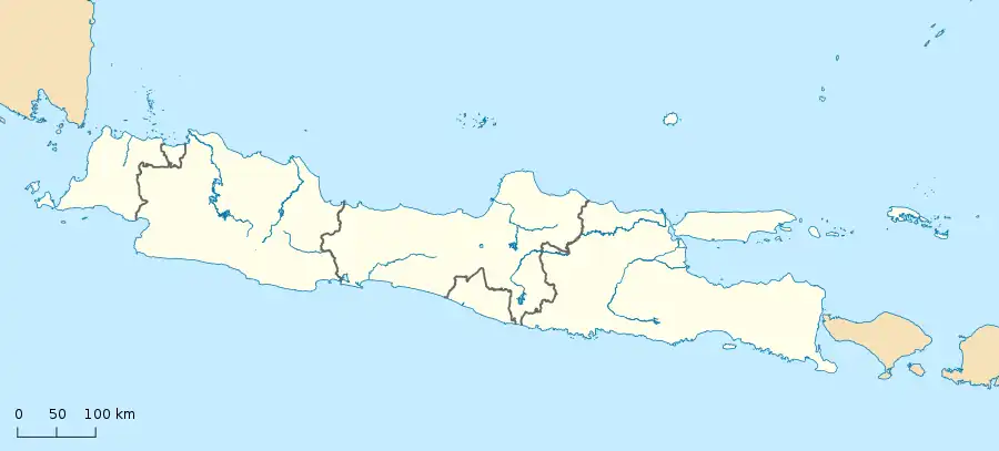
 Cibubur Location in Java | |
| Coordinates: 6°21′25″S 106°52′55″E / 6.35694°S 106.88194°E | |
| Country | |
| Province | DKI Jakarta |
| Administrative city | East Jakarta |
| District | Ciracas |
| Government | |
| • Lurah (Village Head) | Agus Pramono, S.E |
| Area | |
| • Total | 4.50 km2 (1.74 sq mi) |
| Elevation | 75 m (246 ft) |
| Population (2017)[4] | 74,412 |
| • Density | 16,536/km2 (42,830/sq mi) |
| Time zone | +7 |
Cibubur is one of the five administrative villages (kelurahan) in Ciracas district (kecamatan) in East Jakarta, Jakarta, the capital of Indonesia. [5] Cibubur is located in a strategic location, because it is between Jalan Raya Bogor and the Jonggol area. Cibubur is the site of an SOS Children's Village.[6]
Recreational Places
References
- ↑ Perangkat Daerah Provinsi DKI Jakarta Archived 2018-02-22 at the Wayback Machine (DKI Jakarta Province Regional Administrators)
- ↑ "Ciracas in Figures". Area, Head of Family, Population and Their Density by Village. BPS Kota Administratif Jakarta Timur. 2017. Retrieved August 30, 2019.
- ↑ "Ciracas in Figures". Distance Between Village Office to District Office and High Level from Sea Level. BPS Kota Administratif Jakarta Timur. 2016. Retrieved August 30, 2019.
- ↑ "Ciracas in Figures". Area, Head of Family, Population and Their Density by Village. BPS Kota Administratif Jakarta Timur. 2017. Retrieved August 30, 2019.
- ↑ Opschoor, J.B.; Button, K.J.; Nijkamp, P. (1999). Environmental Economics and Development. Edward Elgar Pub. p. 574. ISBN 9781858987408. Retrieved 2014-10-24.
- ↑ "Indonesian Charity: Sponsor a child in Indonesia". soschildrensvillages.org.uk. Archived from the original on 2014-10-24. Retrieved 2014-10-24.
External links
This article is issued from Wikipedia. The text is licensed under Creative Commons - Attribution - Sharealike. Additional terms may apply for the media files.