| Cilo Dağı | |
|---|---|
 Cilo Dağı | |
| Highest point | |
| Elevation | 4,116 m (13,504 ft) |
| Coordinates | 37°30′N 43°58′E / 37.500°N 43.967°E |
| Geography | |
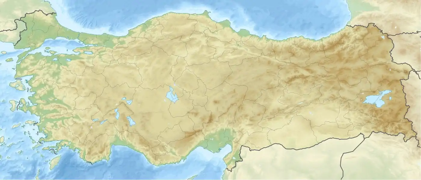
 Cilo Dağı Turkey  Cilo Dağı Cilo Dağı (Middle East)  Cilo Dağı Cilo Dağı (West and Central Asia) | |
| Location | Yüksekova, Hakkâri Province, Turkey |
| Parent range | Armenian / Taurus / Zagros Mountains |
Cilo Dağı (Kurdish: Çiyayê Cîlo; Armenian: Ջողա լեռ) is the third highest mountain in Turkey. It is 4,116 m (13,504 ft) high and lies in the Hakkâri Dağları chain, located in the eastern Taurus, in the district of Yüksekova of the Hakkâri Province.[1][2]
Description
Cilo Dağı is part of Cilo mountain range, which is 30 km (19 mi) long.[3] The Uludoruk (4,135 m (13,566 ft)), located in the immediate vicinity (4 km (2.5 mi) away), is the second highest mountain in Turkey. In 1984, the area was closed to civilians. It was not until 2002 that a team of mountaineers was authorized to climb again the Cilo mountains.[4]
See also
References
- ↑ The New Encyclopaedia Britannica: Macropaedia. University of Michigan p. 920
- ↑ Brockhaus, Enzyklopädie in 30 Bänden, Vol. 28. Mannheim 2006, p. 117, s.v. Türkei.
- ↑ www.tuerkei-kultur-info.de
- ↑ Hürriyet, 28. September 2002
External links
This article is issued from Wikipedia. The text is licensed under Creative Commons - Attribution - Sharealike. Additional terms may apply for the media files.