Ciply
| |
|---|---|
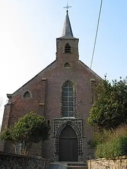 Saint-Waudru Church | |
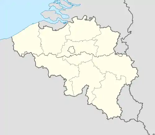
Location of Ciply | |
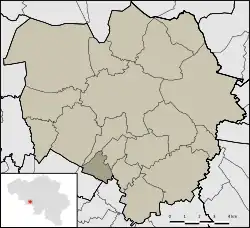 Location of Ciply in Mons | |
 Ciply  Ciply | |
| Coordinates: 50°25′09″N 3°56′38″E / 50.41917°N 3.94389°E | |
| Country | |
| Community | |
| Region | |
| Province | |
| Arrondissement | Mons |
| Municipality | Mons |
| Area | |
| • Total | 2.38 km2 (0.92 sq mi) |
| Population (2020-01-01) | |
| • Total | 740 |
| • Density | 310/km2 (810/sq mi) |
| Postal codes | 7024 |
| Area codes | 065 |
Ciply (French pronunciation: [sipli]; Walloon: Cipli) is a sub-municipality of the city of Mons located in the province of Hainaut, Wallonia, Belgium. It was a separate municipality until 1977. On 1 January 1977, it was merged into Mons.[1]
References
Wikimedia Commons has media related to Ciply.
This article is issued from Wikipedia. The text is licensed under Creative Commons - Attribution - Sharealike. Additional terms may apply for the media files.