| Clam River | |
|---|---|
.jpg.webp) Clam River near its source in Cadillac | |
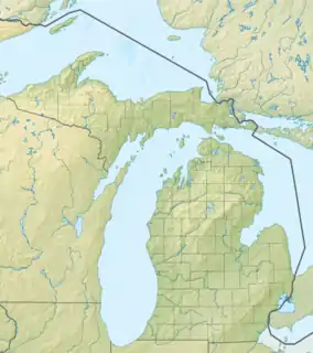 Location of the Clam River's mouth | |
| Location | |
| Country | United States |
| State | Michigan |
| Region | Northern Michigan |
| Physical characteristics | |
| Source | |
| • location | Lake Cadillac in Cadillac |
| • coordinates | 44°15′04″N 85°24′37″W / 44.25111°N 85.41028°W |
| Mouth | |
• location | Muskegon River near Temple |
• coordinates | 44°05′22″N 85°00′12″W / 44.08944°N 85.00333°W |
| Length | 51 mi (82 km) |
| Basin features | |
| Progression | Lake Mitchell → Lake Cadillac → Clam River → Muskegon River → Lake Michigan |
The Clam River is a 51.1-mile-long (82.2 km)[1] tributary of the Muskegon River in Wexford, Missaukee, and Clare counties in the U.S. state of Michigan. The source of the river is located in downtown Cadillac, at the eponymous Lake Cadillac, adjacent to Cadillac High School. The river flows east and southeast and ends at the Muskegon River a few miles north of Temple.
References
- ↑ U.S. Geological Survey. National Hydrography Dataset high-resolution flowline data. The National Map Archived 2016-06-30 at the Wayback Machine, accessed November 21, 2011
This article is issued from Wikipedia. The text is licensed under Creative Commons - Attribution - Sharealike. Additional terms may apply for the media files.