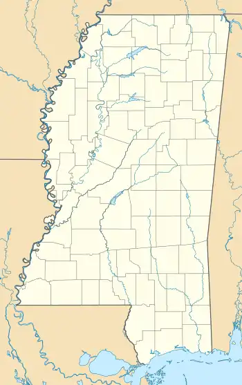
Clay, Mississippi | |
|---|---|
 Clay  Clay | |
| Coordinates: 34°16′12″N 88°20′14″W / 34.27000°N 88.33722°W | |
| Country | United States |
| State | Mississippi |
| County | Itawamba |
| Elevation | 463 ft (141 m) |
| Time zone | UTC-6 (Central (CST)) |
| • Summer (DST) | UTC-5 (CDT) |
| GNIS feature ID | 668531[1] |
Clay is an unincorporated community in Itawamba County, Mississippi, United States.
It is located on Mississippi Highway 178, 4.5 mi (7.2 km) east of Fulton.
Clay had a post office in the early 1900s.[2]
Notes
- ↑ "Clay". Geographic Names Information System. United States Geological Survey, United States Department of the Interior.
- ↑ Rowland, Dunbar (1907). Mississippi: Comprising Sketches of Counties, Towns, Events, Institutions, and Persons, Arranged in Cyclopedic Form. Vol. 1. Southern Historical Publishing Association. p. 450.
This article is issued from Wikipedia. The text is licensed under Creative Commons - Attribution - Sharealike. Additional terms may apply for the media files.
