| Clay Hill | |
|---|---|
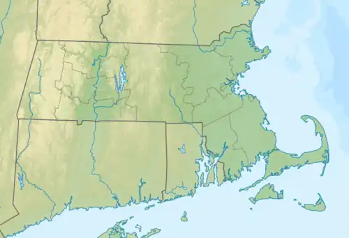 Clay Hill Location of Clay Hill in Massachusetts  Clay Hill Clay Hill (the United States) | |
| Highest point | |
| Elevation | 194 ft (59 m) |
| Coordinates | 41°41′07″N 70°21′28″W / 41.6853871°N 70.3578013°W[1] |
| Geography | |
| Location | Cape Cod, Massachusetts |
| Topo map | USGS Hyannis |
Clay Hill is a mountain in Barnstable County, Massachusetts. It is located 1.8 miles (2.9 km) south-southeast of West Barnstable in the Town of Barnstable. Shootflying Hill is located east and White Hill is located north of Clay Hill.
References
- ↑ "Clay Hill". Geographic Names Information System. United States Geological Survey, United States Department of the Interior. Retrieved 2018-08-20.
This article is issued from Wikipedia. The text is licensed under Creative Commons - Attribution - Sharealike. Additional terms may apply for the media files.